Upper air analysis have many uses. Each map displays
different aspects of the weather situation. The 300
mb map defines the jet stream position. The 500 mb map
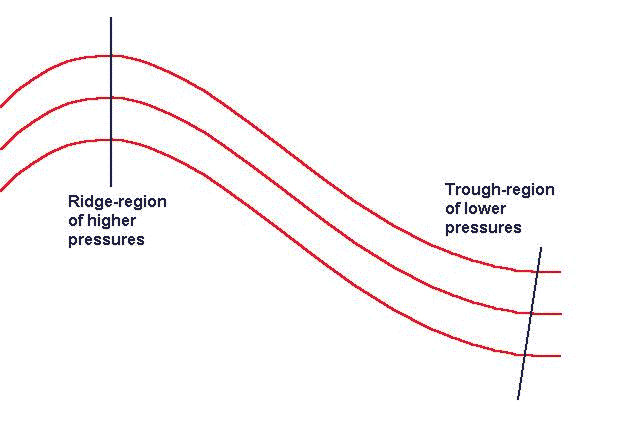
illustrates the positions of and troughs and ridges,
which may indicate areas of stormy or fair weather.
The 850 mb map can be used to indicate the presence
or absence of moisture available for precipitation.
850 mb maps
* Dewpoint depressions < 10 degrees Celsius suggest
sufficient moisture for precipitation
700 mb maps
* Short-waves indicate areas of upward motion
500 mb maps
* Ridges are associated with fair weather and warmer
temperatures
* Troughs are associated with stormy weather and cooler
temperatures
* Vorticity may be used to determine regions of upward
(+) or downward (-) motion
300 mb maps
* Jet stream is used to identify areas of convergence
and divergence at the surface
