March 31, 2008:
Lots of uncertainties on this day. It appeared as though kinematic forcing would be more than sufficient for mini-supercells, provided we got just a little bit of sunshine
to destablize the atmosphere and provide sufficient instability for thunderstorms. Around noon, clearing began taking place in southeastern Iowa, and a mesoscale
discussion was issued for the area, with the potential for a watch to be issued. Dave Flory and I decided we'd had enough of winter, and made the journey to Ottumwa, Iowa.
Upon arrival, we found a Super 8 to take a look at data. We made the decision to hold tight in the Ottumwa area, and wait for the storms to approach us. As the storms
drifted closer, the storm to our west was looking like the best among the broken line, so we decided to meander north a bit. However, clouds were quickly filling ahead of
the storms, limiting the
amount of destablization that would occur. Since we were there already, we decided to poke around and watch the early spring storms drift by. We observered several
lowered cloud features, and a lot of scud. Still a fun trip.
|
|
|

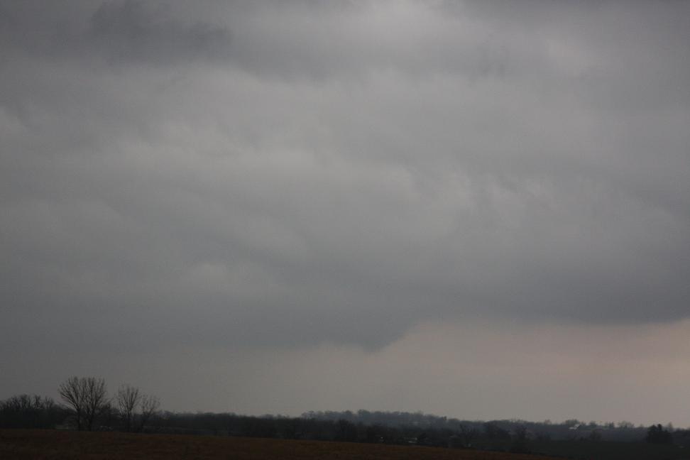
North of Ottumwa, scud to the west.
|
|

Nice shot of the storm.
|
|

Maybe a wall cloud in there.
|
|

A closer look at it.
|
|

Scudish lowering (hard to see).
|
|

Nice picture of the springtime storm.
|
|

More scud.
|
|

Cloud lowering.
|
|
|
Another lowering.
|
|
Feel free to contact me at: karstens.chris@gmail.com
Updated 12 May 2008