May 6, 2008:
A line of storms rolled out of South Dakota and reintensified as they made their way into Iowa. Development was taking
place on the southern edge of the line, and the storms had a history of producing large hail and strong winds. I made the decision early to consider this a "local" chase,
as the shear at all levels was less than impressive. Around 7:30 pm, my fiance and I grabbed the two dogs headed north of Ames, and stopped at the intersection of E23 and
Highway 69
- East of Gilbert. The last 3 photos below were taken at 7:48 pm. This was near the time when a tornado warning was issued for northern Story County, though I was
unaware of the warning until several minutes later. However, at this time, outflow from the storm was gusting through my location and I considered the chase over.
Additionally, I could see a lot of scud that could've easily been mistaken for a funnel by an untrained eye. Never the less, I
packed my bags and headed home. About 10 mintues later, I got a call from Scott Lincoln saying we were in a tornado warning. This surprised me, so I headed to the same
intersection, and of course by this time the area of concern had pushed well east of the area. All in all, it was a fun local chase.
|
|
|
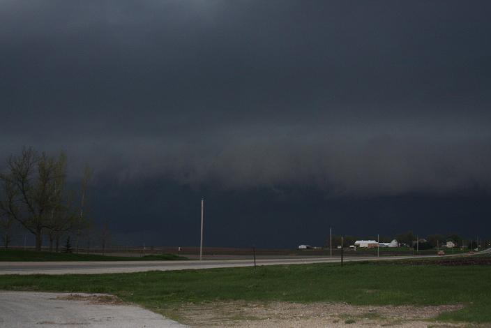
Just arrived (East of Gilbert).
|
|
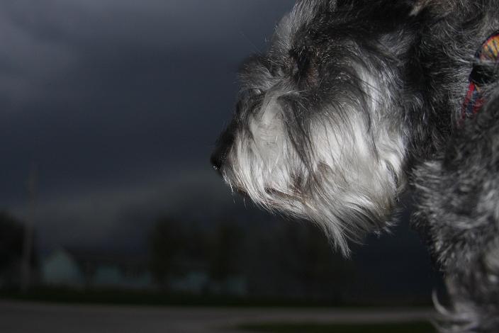
I let Oscar take over spotting for a brief moment... :)
|
|
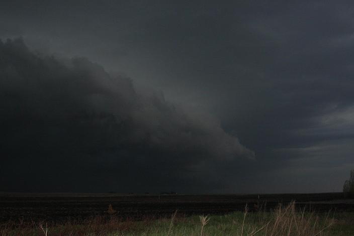
Looks rather shelfy.
|
|
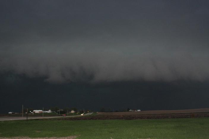
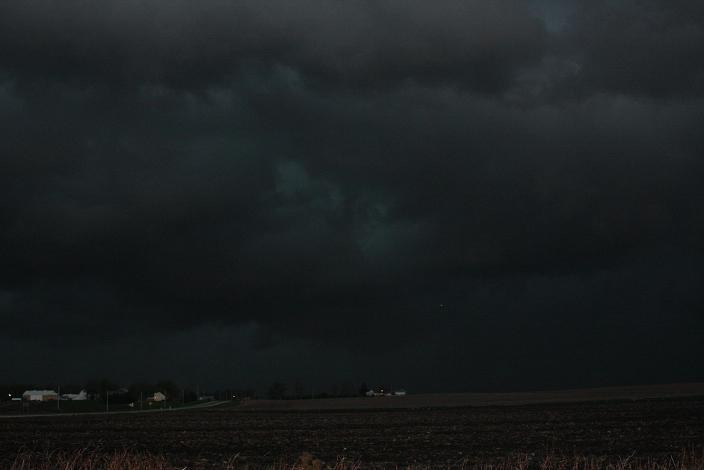
Scud that may have prompted the warning.
|
|
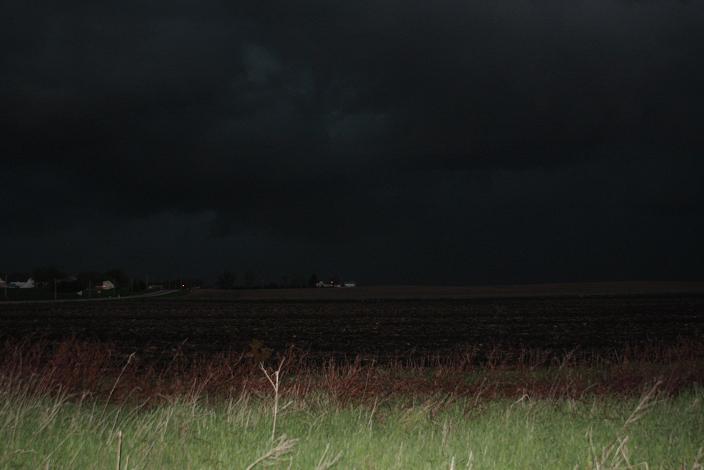
Probably a figment of the camera.
|
|
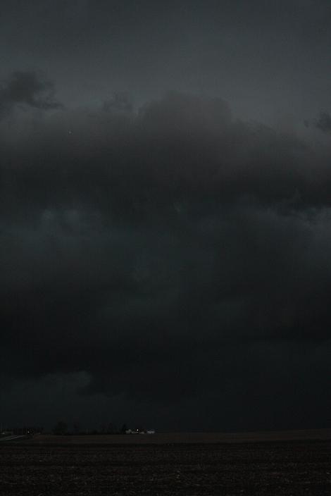
Looks interesting, but outflow was in my face.
|
|
Nice shot anywho.
|
|
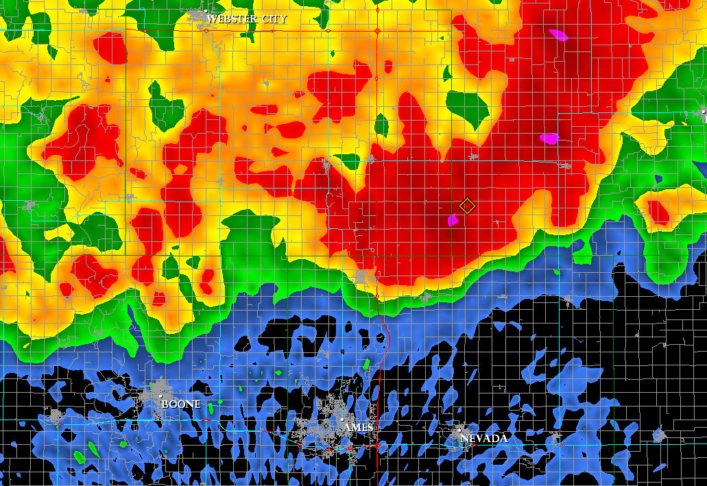
Where I was when the warning was issued (ret dot).
|
|
|
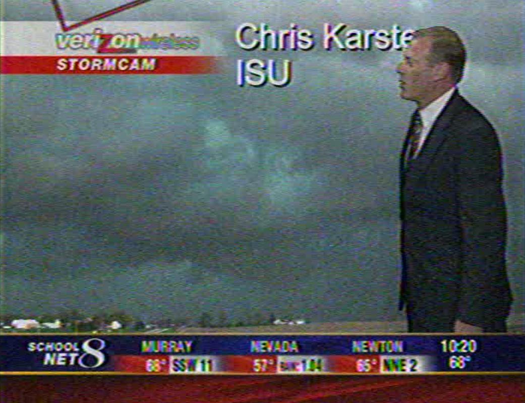
My pic made the 10.
|
|
Feel free to contact me at: karstens.chris@gmail.com
Updated 12 May 2008