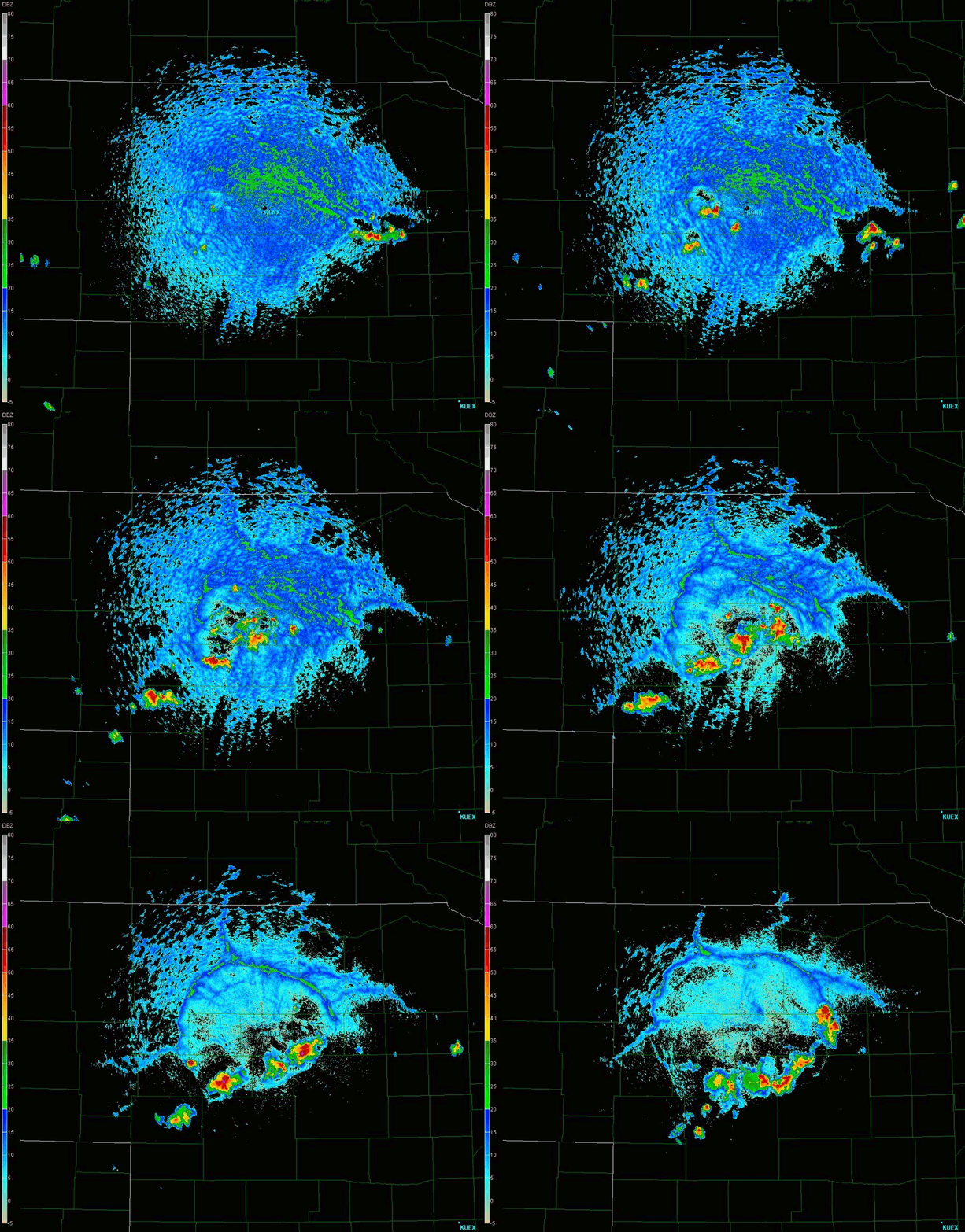
KLNX 0.5° base reflectivity: 2006UTC to 2358UTC 11 Aug 2009
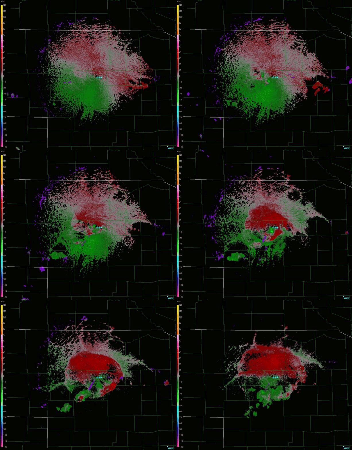
I was just randomly viewing radar imagery around the Midwest this day and decided to check out KLNX because I knew there was convection in the area. I left GR2 open and running for a few hours, and when I came back later, I was amazed at what I saw in base reflectivity and velocity. (Note: loop sizes are about 12 and 9 MB, respectively.)

I've always thought outflow boundaries were cool. I like the idea that you can see actual air mass boundaries on radar. It really helps with surface analysis. I've seen plenty of outflow boundaries appear on radar before, but this particular case was the best example I had ever seen! Since surface winds were weak and HCRs had formed, thus putting many scatterers in the boundary layer, this outflow boundary was nearly perfectly circular, and its evolution and movement were even more clear than usual. Cool.
This outflow boundary looked very cool, as well, on base velocity, because the convection that created it formed almost directly on top of KLNX. Therefore, a lot of the bins in the cold pool were outbound velocities, showing up as an expanding disc of red in the animation below. Then, as a few other storms to the southwest of KLNX formed, they put out additional outlow that began to impinge upon the main cold pool and put south winds into the southern portion of the cold pool, which is why the velocities south of KLNX appear green instead of red. In fact, there's a good zero isodop running west-east showing that the winds are mainly southerly in the cold pool eventually.

Return to main page.