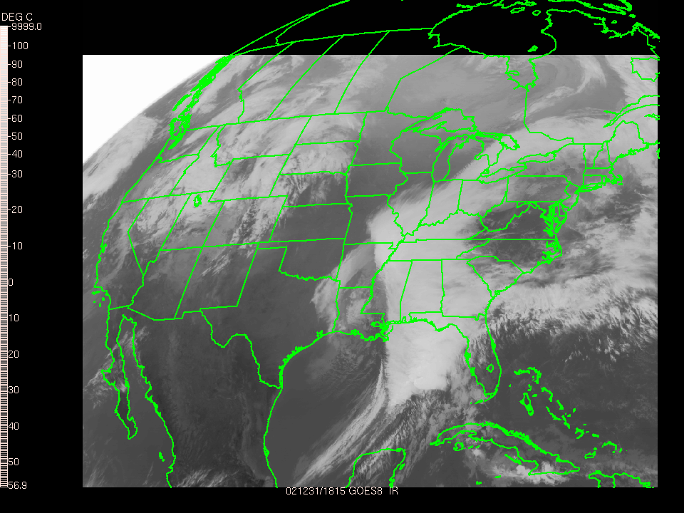
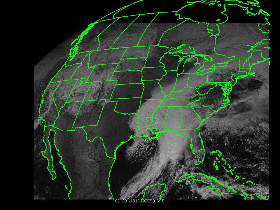
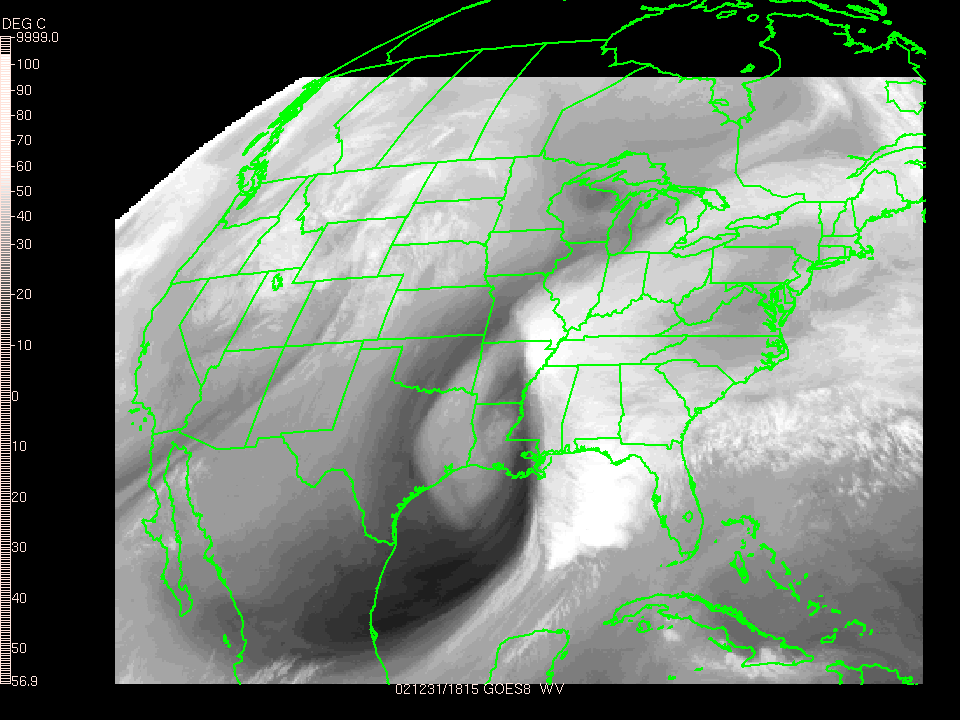
Satellites take pictures of clouds that move across the earth, usually from 22,500 miles in space. There are two types of satellite imagery, visible and infrared. Visible imagery is used when the satellite takes pictures of the clouds during the day just like a regular camera. At night visible imagery is not possible since the sun is not providing a light source for the picture. Infrared radiation emitted by clouds is sensed by the satellite and then converted to temperatures using mathematical equations. The temperatures are related to the height of the clouds. Colder temperatures imply higher cloud tops. Higher cloud tops may be representative of thunderstorms or fair weather cirrus clouds.