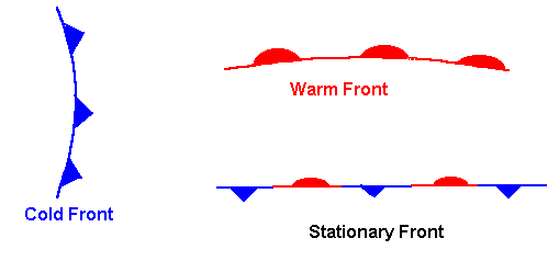
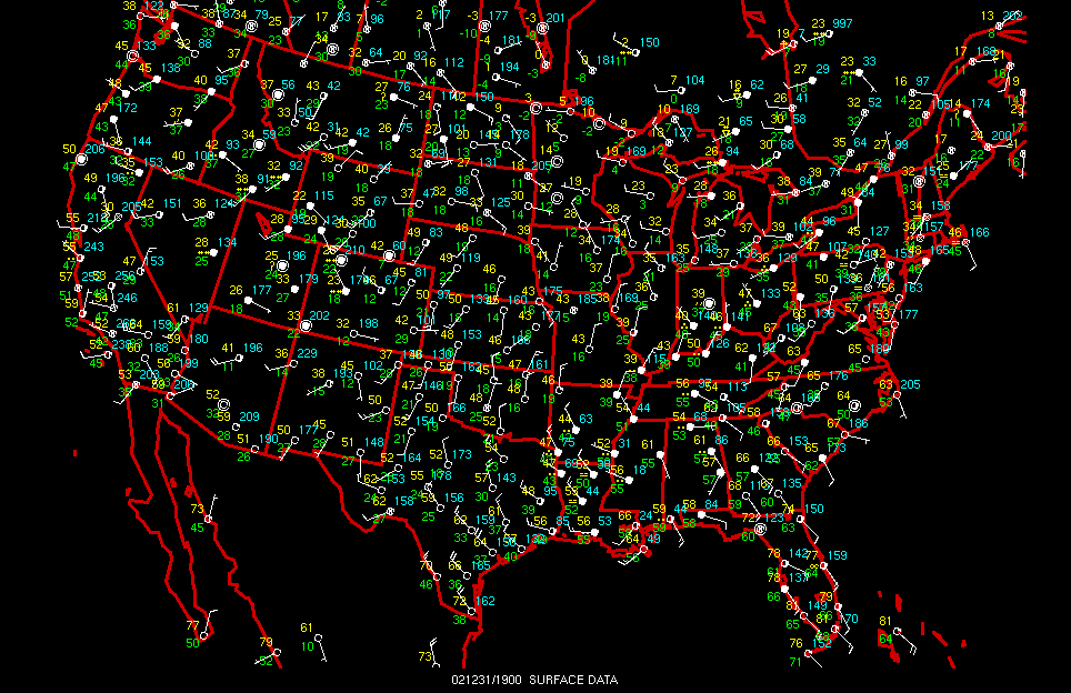
Surface maps show us what type of weather is occurring where we live and work. Items that you will find on surface maps are cold, warm, and stationary fronts. Cold fronts show up as blue barbs, warm fronts as red scallops, and stationaryfronts as alternating blue barbs and red scallops, or they may all show up as blue, red, or alternating blue-red lines.
Regional |
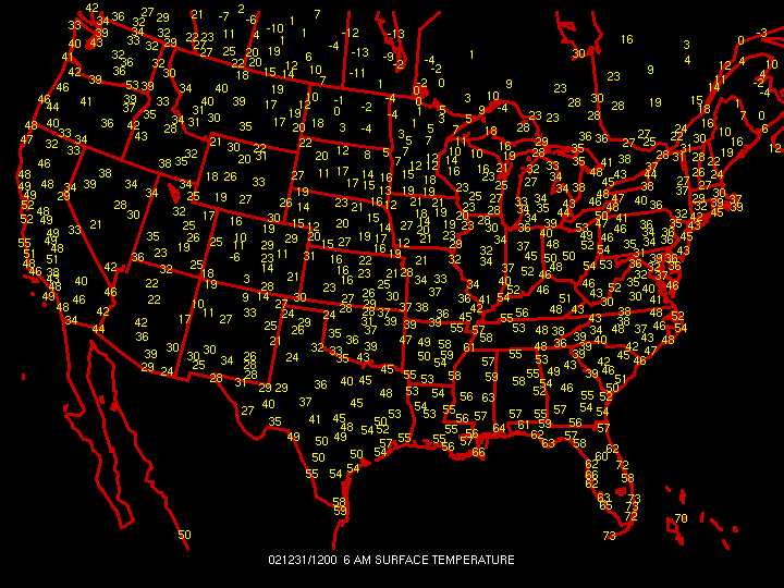
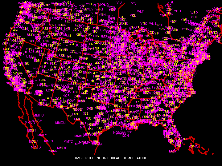
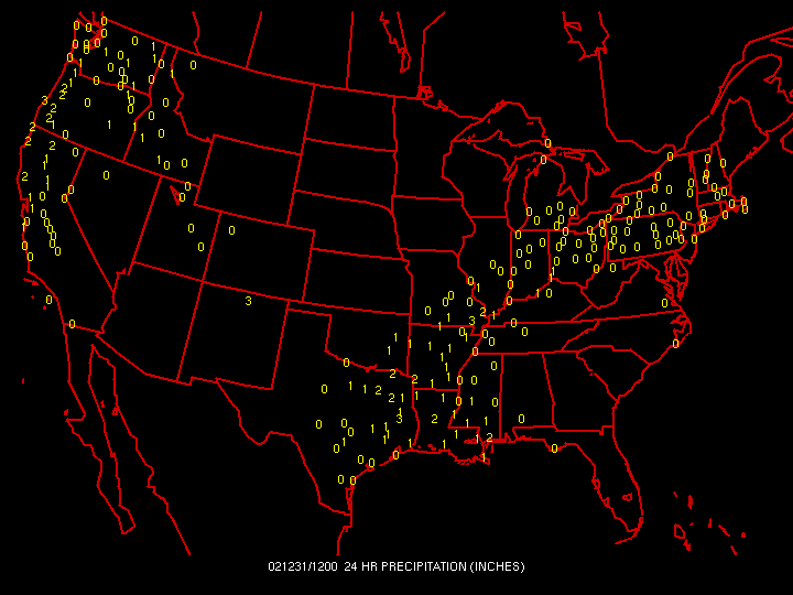
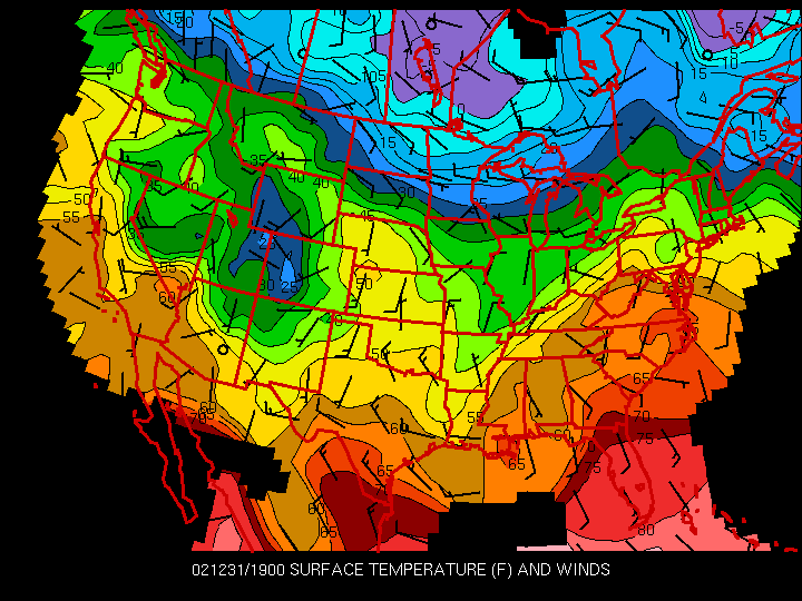
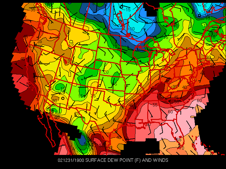
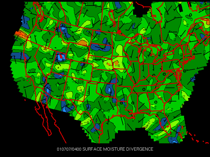
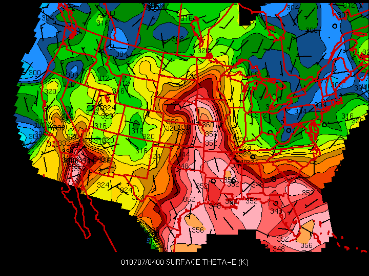
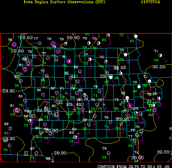
Surface maps display various surface parameters such as pressure, temperature, and dewpoint temperature. Lows, highs, and fronts are drawn on some maps to indicate varying surface conditions. These can be used to track areas of low pressure (usually producing cloudiness and precipitation) and high pressure (usually clearer weather). |