
|
|
|
|
|
|
|
|
|
|
|
|
|
|
|
|||||||
|
|
|
|
|
|
|
|
|
||
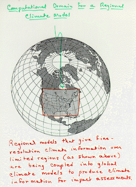
Regional Climate Modeling
An alternative to global modeling is regional climate modeling. As the name implies, a regional
climate model (RCM) does not attempt to simulate the entire globe but only a portion thereof,
Figure 2.
Regional models use the same laws of physics described in terms of mathematical equations as do global
models. Regional models have their advantages and disadvantages. On the plus side, regional models
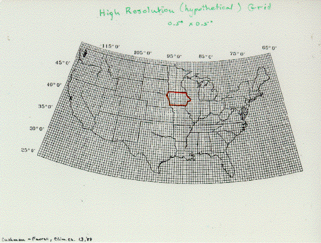
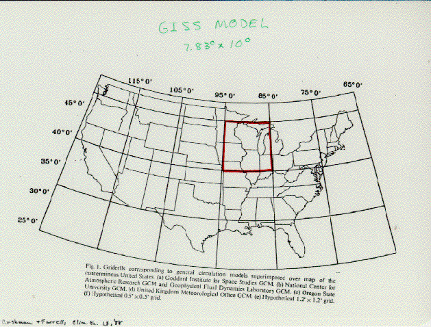
cover smaller areas so they can have higher spatial resolution,
Figure 3, for the same number of
grid points as a global model, Figure 4.
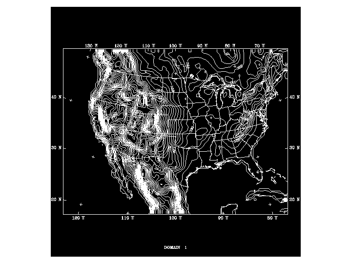
This allows better resolution of mountainous (Figure 5)
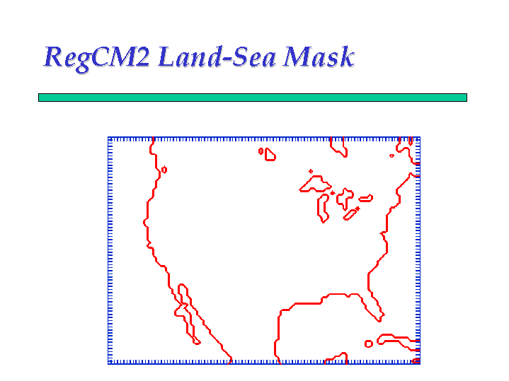
and coastal areas (Figure 1), for instance, where
a distance of 50 km can mean a dramatic change in climate. It also means that smaller-scale weather
systems, particularly the kind of weather systems in mid-continent areas like Iowa experience in
the summertime are better resolved. These systems can produce intense rainfall in one county and leave the adjacent
county with a mere trace. Global models having only one grid point to represent the entire state
of Iowa certainly are not able to capture this spatial variability.
On the negative side, regional models, because they do not span the entire globe, must rely on information provided at the lateral boundaries in order to simulate climates for the interior of their model domains, Figure 2. Therefore, regional models seeking to simulate future climates for a particular geographic region, must rely on global climate models, presumably run at coarse resolution, to give them the lateral boundary conditions at regular (say 6-hour) intervals so that the regional model can create the details of regional climate in its domain. So regional models don't replace global models but might be able to supply added value to simulations done with global models.