May 15, 2009 chase account
***BUSTED***
I've got meteorologically significant pictures this time, but the chase was still an overall bust. 1160 miles,
three chases, and next to nothing to show for it so far in 2009 after this day. Although there were nearly
300 reports of severe weather,
only five were tornadoes, and a lot of the stuff that happened in our area happened earlier in the day.
I and chase partners Ben and Logan targeted an area in eastern Kansas where we thought the best instability
would be (and was within range for us leaving from Ames). It was along a cold front, but those who chased the cold
front two days prior had struck gold in northeast Missouri, so I was somewhat optimistic about the type of lifting
that this cold front could provide. There was a warm front closer to home across northern Missouri and
central Illinois, but even by mid-morning, it was completely clouded over, cool, and cluttered
with convection. In fact, we had to drive through a bow-echo-type line near Cameron, Missouri on our way to
Kansas. This line was the most severe thing we saw all day: it hit us with torrential rain and 0.75" hail with probably 50 mph wind
gusts. It also contained random spin ups near us that I didn't feel comfortable driving through, so we stopped
in Cameron just off I-35. Then the damn thing ended up building south anyway, chasing us through the Kansas City metro area!
We made it to Ottawa, Kansas around 3:30. Storms were just starting to fire across much of central KS then.
We were waiting for more, though, and figured we were in a decent spot for it. Well, luck shone upon us, as what
storms did fire ended up birthing a discrete cell northwest of town just ahead of all the crap that was building
around the state. Two cells near Topeka were also discrete at the time, but we didn't think we'd get there in time
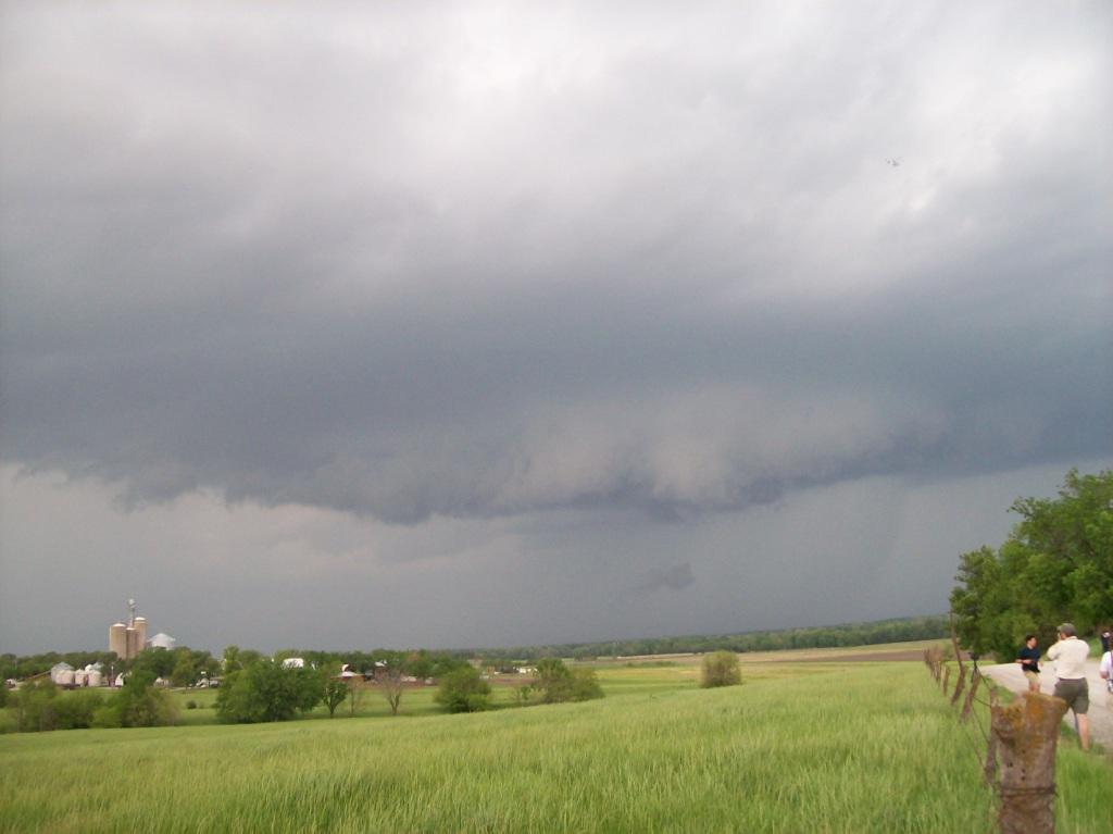
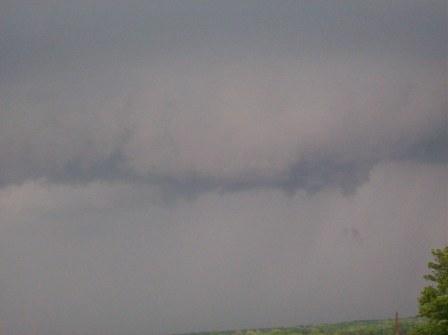
before they got sucked into the line. Thus, we just stayed on our storm. It looked bad at first, but after a few
minutes of chasing it finally started to get a shallow lowering and spiral bands on its updraft. It looked like it
was trying to become supercellular. It really struggled to organize, though, and was getting impinged upon from
it's north and west by the big line associated with the cold front. It never did organize any better and was
absorbed into the line eventually.
Frustrated, we headed back to I-35 to near Spring Hill, KS on Highway 169. Figuring we would get nothing
better than a nice shelf cloud, we sat there watching the radar as the line headed for us. Indeed, the line started
to bow in places, including to our southwest, near Ottawa. In fact, a report of a funnel cloud came out of that
area on the spotter network. We thought maybe we could go get hit by a 70 mph wind gust, so we headed in that direction.
Sadly, before we even got close, it all fell to crap. Thus we began heading home: back towards Highway 169 to KC.
On the way, we were overtaken by the line and ended up driving through it all the way back up to the north side of
the KC metro area. We made it back home around midnight.
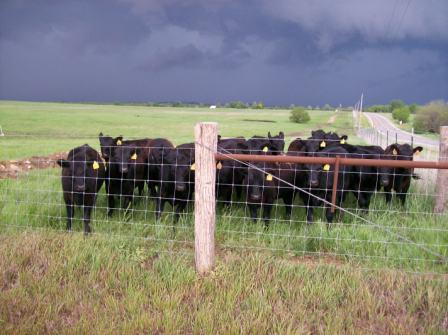
| Moo! These cows didn't seem happy to see us hanging out here. They were less organized when we got
there, but crowded the fence and began mooing at us shortly after we arrived. There were more across the
intersection also staring at us. |
 |
| Shallow lowering/wall cloud on our discrete cell just before it started to fall apart. |
 |
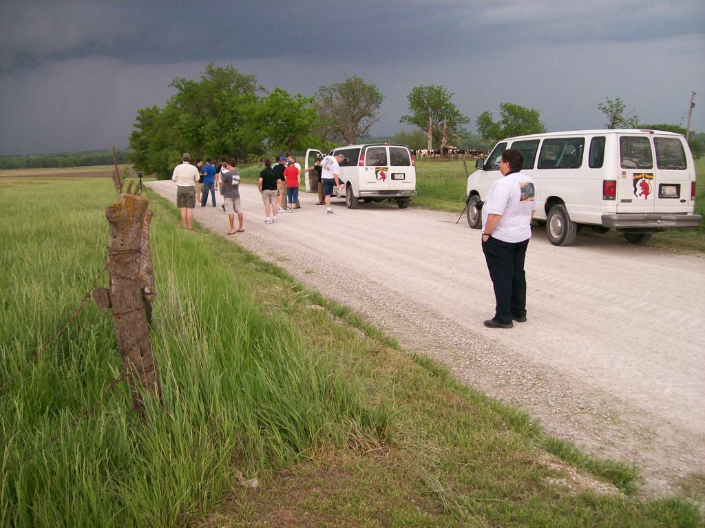
| Cloud 9 Tours vans. We were basically traveling together while following the cell. |
 |
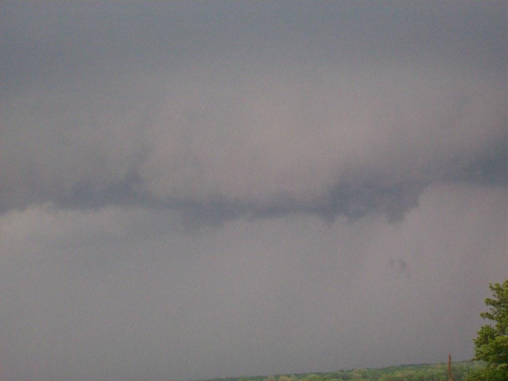
| Zoom in on the lowering. We could see rising scud from time to time. |
 |
Return to 2009 - chasing home page