April 23, 2010 chase account
I had been wanting to chase this day for some time. I saw it coming in the models, and after things went
gangbusters in CO/KS/TX the day before with multiple
reports of tornadoes from multiple tornadic supercells, I was very eager to get out there and hopefully
catch a second day of luck. There were two
target areas this day: one in the south, and the higher risk area, and one to the north, a much closer
target but maybe not as favorable for tornadoes (capping, moisture, and instability
didn't look to be as good in the northern target). The evening prior, Chris Karstens called me and offered to have me
drive M2 for a pre-TWISTEX-season chase to work out some bugs. I was happy to oblige. It was fun to get
to see everyone again.
Chris and I left Ames around 7:30 AM for a target somewhere in southeast Nebraska. We were just planning
to meet up with the team somewhere there. We eventually met them just south of the Nebraska-Kansas border on U.S. 77
north of Marysville. We lunched in Beatrice, waited in a field north of Beatrice, then moved east to near Auburn over
the course of the afternoon as we waited for initiation. By the time we were heading east on U.S. 136 to Auburn, there
were a number of meaty looking agitated cumulus clouds trying to break the cap. None were successful, but they were
pretty looking. As we sat near Auburn, some turkey towers and weak convection finally initiated to our north.
This convection was racing north-northwest, however, and thus had no chance of going tornadic. It never really
even became severe either.
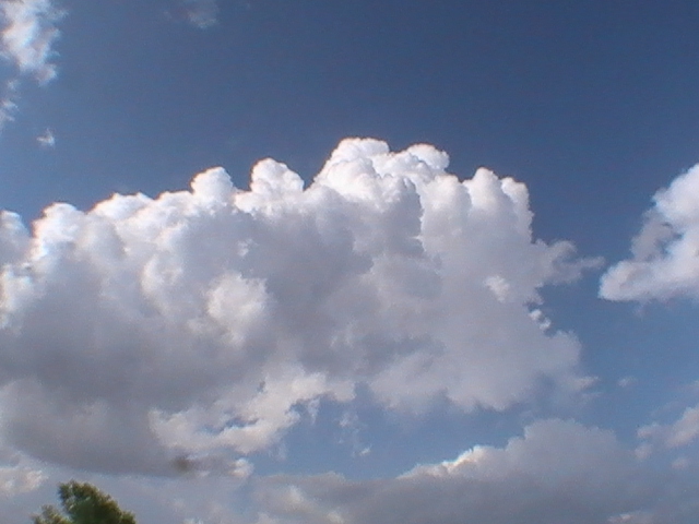
Some early attempts at initiation. This is not one of the pretty looking agitated cumuli that I was
alluding to.

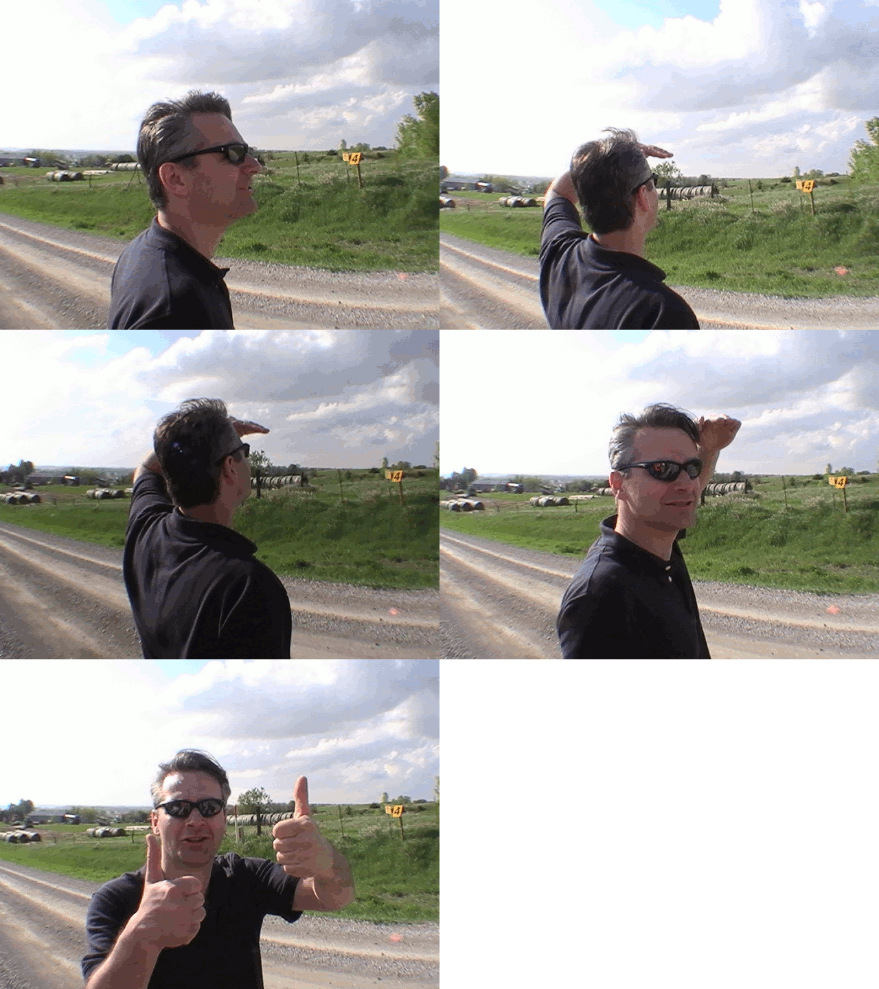
Carl observing some early weak convection.
(Since I forgot my main camera, I was forced to use my JVC Everio video camera's still image mode to take
pictures on this chase. Because of that, the picture quality is pretty bad. The best resolution image setting
is only 640x480.)
Finally we decided to jog north along U.S. 75 since that's where the best
CU field was/was going. Just after stopping on the south side of Nebraska City around 7PM, a storm finally popped
to the southwest. Actually, multiple storms initiated around this time (some 00Z magic?). We dashed west along
highway 2 to intercept the storm.

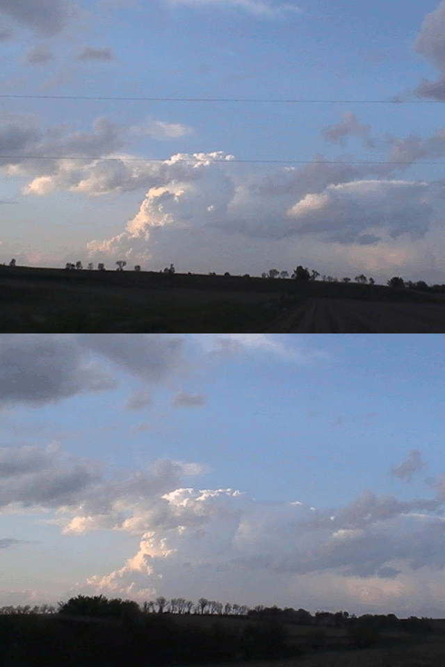
Not the cell we were moving west to intercept, but a pretty looking updraft/storm to the northwest.
We intercepted the storm as we traveled on state highway 43. There were a few separate updrafts in a N-S line
at this time along the highway, so we began doing some core punching. Very little hail to begin with (I think
Tony was able to find ONE pea). We turned back once we got to the southern flank of the storm, which
really wasn't looking very good, and headed back north. On our way through Bennet, we finally ran under a
more intense core and began picking up nickel to quarter sized hail that lasted all the way until we stopped
at a convenient store parking lot at the intersection of 43 and 2. We decided to pursue the storm towards the
east as a few team members saw some ragged scud and lowerings to the northeast. Light was really fading by now,
though, and this eventually killed the chase a few minutes later. A tornado warning had been issued for part of
this storm to the north during this time, but there was no decent signature on base velocity, and it was too
dark to see in there. Some chasers claim to have seen a tornado, but I'm in disbelief. Aided by intermittent
lightning strikes, however, I did see some structure to the storm develop after we had called it quits. It
looked like the storm had developed a disc-shaped updraft region, and I believe there probably was a wall
cloud under it, but it was too far away to see and I was driving so I couldn't look for long enough to tell.
The team ended up breaking for good at the intersection of U.S. 34 and U.S. 75 outside of Union. Chris and
I then headed home. I got in around 1:30 AM. All in all, I would have to call this chase a very low-end bust.
Return to 2010 - chasing home page
