I was amazed how well-cut the grass next to the hotel parking lot was.
It was amazingly flat around there, too.
I'm grouping these two days together since that's what it seemed like to me.
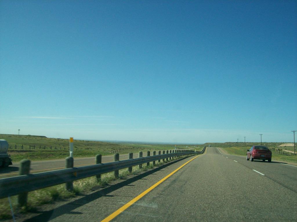
Chris and I left from Ankeny around noon on Tuesday, heading southwest and hoping to meet up with the rest of the TWISTEX crew. As the day went on and the tornadoes formed in the TX panhandle, it became clear that we would have to go to Dumas, TX to meet with the team.
The 18th was Chris's birthday and he wanted to see a tornado. Upon leaving Ankeny earlier in the day, we had had no intention of chasing. However, after noting that the storms in the TX/OK/KS area were persisting well after dark, by the time we made it to Dodge City we decided to try to see what we could see. We first intercepted a storm which had previously been tornadic as it crossed the OK panhandle but had since weakened after entering KS. As we neared it, it rapidly strengthened and again became tornado warned. We pulled onto side roads off of U.S. 54 a few miles northeast of Liberal and sat in the inflow region to the storm, which was HP. Although we saw nothing tornadic, the intracloud lightning on the storm was incredible! It was every color I had ever seen lighting to be - blue, white, pink, and green. Despite being 10:00 - 11:00, there was more than enough lightning to see the inflow notch of the storm. Again, we saw nothing so we moved on south through Liberal into Oklahoma.
Our next attempted intercept was of a cell that had developed northwest of Dalhart, TX a few hours prior but was only crawling east and was producing tornadoes near Stratford as we entered Oklahoma. Chris and I determined our best plan of attack was to drop south from Hooker, get into the TX panhandle, and get ahead of the storm so that we could attack it from the south and east. Chasing at night is very dangerous, and we did not want to put ourselves in anything resembling a bad place, so we took the safe route far around the storm. However, it was getting late and I was getting tired and wanted to get to Dumas, so I began going faster on the local roads. I had never been in this part of the country before, and as far as I could see at this time of night (nearing midnight), there were no lights on the roads, no homes, hardly any trees, and hardly another motorist. Plus it was flat as far as I could see. After punching a small core in Hardesty heading south for the Texas border, over a hill I finally saw lights...those of an Oklahoma State Patrol officer. I was going much too fast at the time and as soon as he went by me his lights came on and he whipped around. I knew I was caught so I didn't even bother. I just stopped right there and waited for him. He kindly reminded me that the speed limit on this particular road was 55 mph, and I was going 22 over (at least). For some odd reason, though, he did not give me a ticket. Perhaps it was the instruments on the car or the lighting all over the place or the clean record I had. Very lucky for me since that's the second time I have gotten away with something like that.
Anyway, we finally punched down into Texas along what was considered a "main" road. In reality we had jumped on the network of farm-to-market roads that crisscross Texas and Oklahoma. At least it was paved...until we turned onto another road. The pavement ended about a half mile in. From then on, it was about 15 miles of wet gravel around turns, road construction (on a farm-to-market road!), and the constant worry of slipping off the road and getting marooned in the middle of nowhere in the Texas panhandle (there wasn't much of anything around that I could see...and it was past midnight). We finally made it to state highway 15 and headed through Spearman on the way to Stinnett, at which point we could finally get to Dumas along state highway 152. As if we hadn't had enough action this day, between Spearman and Stinnett, we ran into at least one section of road that was flooded over. I didn't even see the first section coming! I was going about 70 mph and then suddenly FWOOSH! as the car plowed through probably 6-inch-deep flood water. I'm amazed we didn't lose control, get swept off the road, or get stuck/stopped. Plus we were heading through more storm cores (multiple cells were going up at this time all around us), and the CGs were close and intense. I was worried we might get struck since there was pretty much nothing around us, not even power poles during some sections of highway. No traffic either. It felt like we were all alone out there. Finally, a few miles before Stinnett, we saw a Texas DOT truck (or two) going out to find and mark flooded road sections. We saw a few more cars, too. Stinnett was without power, probably due to the rain or the fact that a tornadic supercell passed just north of town earlier in the night. The flatness of the terrain coupled with the slow moving supercells likely caused the rampant flash flooding. Between Stinnett and Dumas, a cell developed a TVS on GR3 right over our heads, but thankfully we had enough lightning to dismiss the cloud tags as scud and not funnel clouds. We eventually made it to Dumas around 2:00 AM. The city had been hit twice this day, once with a tornadic supercell (allegedly producing a few tornadoes very near town), and again maybe an hour before we arrived, with golfball sized hail falling over the city. The main road in town was missing a lane due to urban flooding. I had a hard time getting to sleep that night and really only got about 4 or 5 hours before we woke up in the morning for our briefing for the big severe weather outbreak expected the next day in Oklahoma.
We left Dumas and headed towards Amarillo to pick up Carl at the airport. We then headed east on I-40 in the general direction of W/C Oklahoma.
We stopped to eat and analyze things in Weatherford, OK. We then sat just north of town for a few minutes while we watched convective initiation occur (on radar) amongst a healthy CU field. Upon seeing the decent storm going up far to our northwest, we decided to move north on state highway 54, seeing a large, incapacitated snake in the middle of the road on our way. I don't know what kind it was, but it was long. When we made it to the T-intersection at state highway 33, we had to choose to go either west or east. As it turned out, a storm had gone up in both directions about equidistant from us. The one to the northwest looked better on radar, but the one to the northeast, which barely had 0.5° BR values of 40 dBZ, already had tornado reports coming from it. We decided to go west.

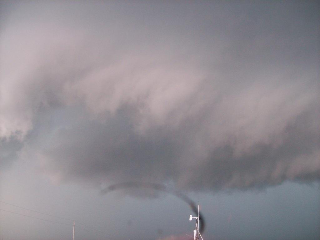
Shortly after turning west on 33, the storm went tornado warned and we accelerated to try to get to it faster. Shortly after, a tornado report came from the storm. We continued to speed west and northwest towards it, but the whole time we were doing that, Chris kept telling me the road network in the area of that storm was bad because there was no good option north and east over the Canadian River. It became pretty clear pretty fast that continuing to pursue this storm was going to end in disappointment, yet we, as a team, continued WNW on state highway 47. By the time we got within sight of the base of the storm, there was little to see other than an impressive updraft. The radar presentation of the storm didn't look so good either. It felt wrong to keep heading west while just about every other chaser, including V2 vehicles, was moving east. Eventually, however, we did turn back east, but then went north a few miles on U.S. 183 to watch it cross the road and continue to look unimpressive. The chaser convergence at this point was getting pretty bad/impressive. See below.

We had to join the chaser train as everyone was now moving east, basically back to where we came from by Thomas. We continued east from there this time to keep up with our storm. We gassed up in Watonga and then decided to head north, not east, like all of the other chasers were doing. While waiting to leave, I saw an RFD punch just to the north of town racing east, so I wondered why we were going north. Apparently we were going to punch the core from the west. We went up to Hitchcock and turned east on Loyal Road, or E0270 Road. At first, visibility was fine and all we saw was a core to our east and stiff NW RFD winds. As we punched into the back of the forming hook of what was now an HP supercell, the visibility dropped way off, small hail began, and the winds really picked up. There weren't many chasers on this road (I think two other cars besides ours), and we could only make it east at about 30 - 40 mph. The winds increased and became sustained at around 40 knots as wind driven half-inch hail began pelting the car as if it were being shot from a gun. It was pretty brutal in there, but the winds stayed NW the whole time, suggesting the threat area was still in front of us (SE or E). We had to stop occasionally when visibility dropped to zero and gusts of 50 - 60 knots hit us, but after what was probably 30 minutes straight of punching this hook, we finally saw some clearing to our east. As we neared the clearing, the pattern of winds above us (what was visible) told us something was happening to our south/southeast. Crazy inflow winds (what used to be RFD winds) from the NW at the surface along with violent low-level cloud motion streaming to the south suggested a tornado was probably on the ground just to our south. As soon as we poked out of the heavy rain, indeed there was one. It looked like a fat cone surrounded by multiple vortices. It was probably only a mile or less to our south. Due to the difficult driving conditions, I was only able to get one shot of it, and I had to contrast enhance it to see it better (and it's still not great). See below.

We jogged north to Dover and then to an east road north of Dover to try to stay with the storm. As we crossed the Cimarron River, I almost wondered if we were going to be blown off the bridge by the intense winds we were experiencing. Also, as we passed through Dover, tree leaves were flying through the air due to the winds. No structural damage was ever noted, though. The road east from Dover turned to crap just east of town, so we went back through town and down to E0730 Road to get east. We did manage to get back ahead of the storm as we turned south onto state highway 74 in Crescent City. We had just enough time to peak west from the intersection of 33 and 74 south of town to see a rotating wall cloud bearing down on us. Sadly, the chaser train was still very thick on this road, and we were stuck facing west while everyone was moving east. As far down the road as I could see (eventually under the wall cloud) there was an endless line of chasers. This worried me because I did not want to be stuck sitting there as it approached me, espeically if it decided to drop a tornado. We would never get back in line in time. Thus Tony, bless his heart, found a big enough gap to make something happen, and made sure to make a very long three-point turn to let us get back in line with him and Ed. It was just in time. As we headed east towards Guthrie, a funnel cloud appeared from the wall cloud. It did not reach the ground, however.
The sirens blared ominously as we went through Guthrie. We continued east on state highway 105, eventually finding a clear spot to stop and watch at Indian-Meridian Road. It was amazing just how quickly the terrain changed upon crossing I-35. It went from pretty flat with not too many trees to very hilly and heavily forested in a matter of miles. Anyway, the storm had begun to surge out and its tornado threat pretty much had ended for the time being. Our last play was to try to gun it for the tornado warned storms approaching the OKC metro. We headed south on U.S. 177 trying to get there, but by the time we neared Shawnee, it became apparent that we wouldn't see anything. However, just as we were about to set up in a hotel in Shawnee for the night, a storm near Prague, just to our east, went tornado warned with a reported tornado on it. So we blazed east on I-40 trying to get in front of it. However, as we neared the exit for Prague, which was really the only reasonable north option to get to the storm, it had passed over the road. All we saw when we got there was a big nasty wet RFD, and it was getting dark. I didn't feel like punching again, so I suggested to the group that we abandon. Others agreed, and we went back to Shawnee to stay the night.
This was my first tornado of the 2010 season, and I entered the bear's cage club with that back-of-the-neck-of-the-hook punch. That experience, while pretty thrilling, taught me a lot about how to read a near-tornado environment in low-visibility conditions. I felt pretty confident afterward that I could do something similar on my own. I would get something of a chance on a later chase, but the environment on that day was not tornadic.
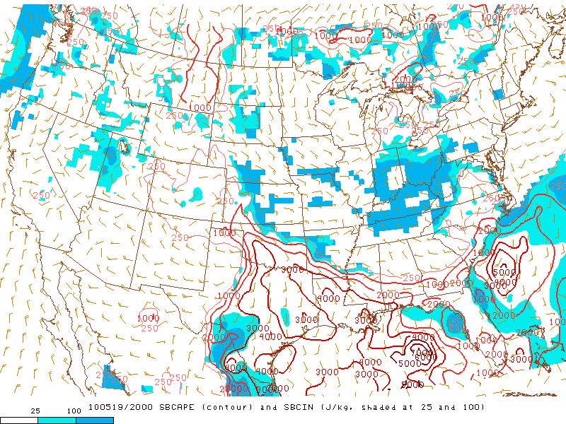
Regarding the mistake of choosing to go after the storm to the west: the better sheared environment was off to the east, near a warm front, and instability was just as good to the east as it was to the west as long as you were south of the boundary.
Return to 2010 - chasing home page