May 21, 2010 chase account
Not a ton to say about this day. Not much happened. See
reports. However, this and the next few days I went without a digital camera because I had unknowingly lost it in my travel
bag and didn't find it again until I got home. Thus any pictures I have through the May 24th chase were taken with my Blackberry
phone. I do have quite a bit of video, though, but due to what it shows, I can't present it right now.
This day never really looked like a big day, but on our way up to Goodland the day before, Ed and I identified an area of great
shear and instability, but a cap, in SW KS that we thought beared watching. By the time we woke up on the 21st, that area no longer
looked so good, and a new area to the west and north looked much better. The HRRR was suggesting that the bulk of the activity would
be in E/SE WY and the NE panhandle, while there was the possibility that a storm would break the cap in E CO around Denver and points north
and east. The hi-res WRF also agreed (I think both the 3km and 4km versions), but more to the extent of the cap breaking in Colorado.
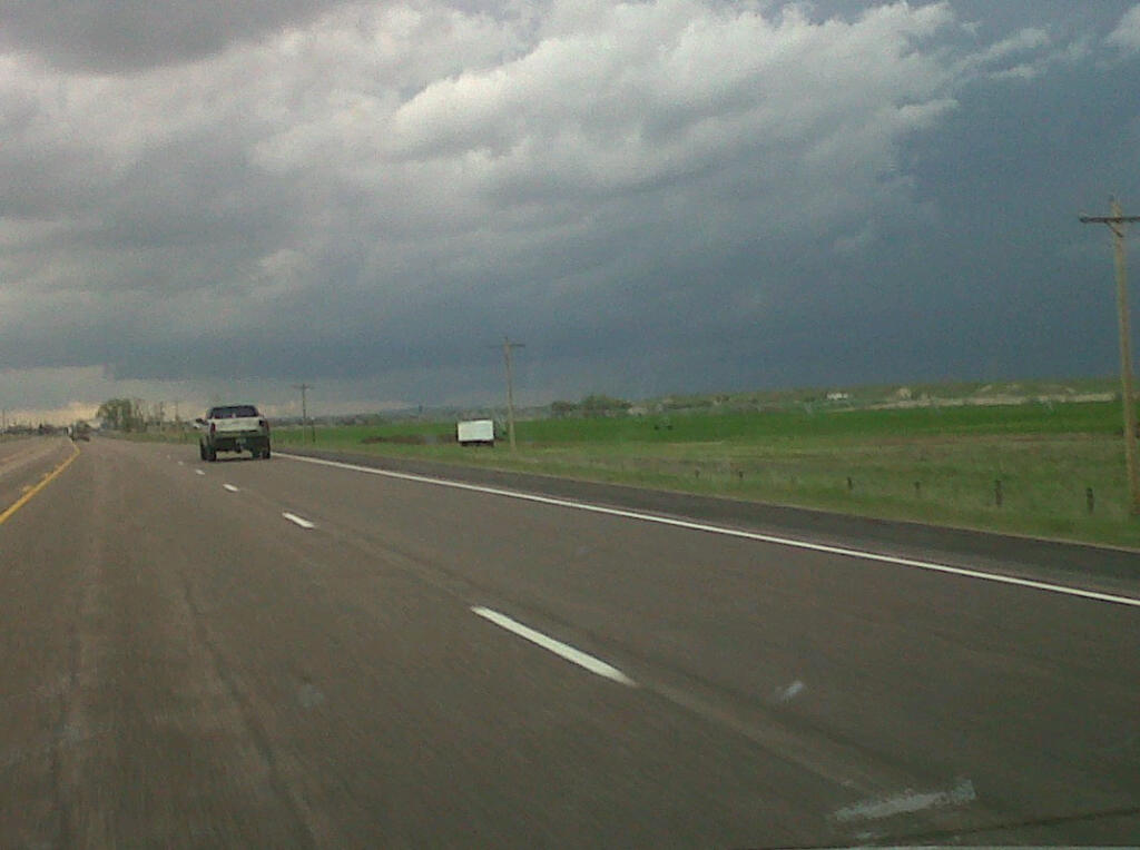
Perhaps due to some geographical bias, we chose to target NE Colorado initially.
As we got off of I-70 and headed north on state highway 71 from Limon, it became increasingly obvious to me that the cap was going to
hold in Colorado. I think other members also caught onto that, as we kept going north, all the way into Nebraska by late afternoon. A
few measly storms had gone up around Chugwater and Wheatland in Wyoming - along the I-25 corridor. However, the farther north we traveled,
the better organized they started to become. By the time we neared Scottsbluff, we were feeling pretty confident that the storm would go
tornadic. We hustled to get west into Wyoming, but my overconsumption of Gatorade from Brush, CO and northward caused me to have to make
an emergency stop at a Perkins in Scottsbluff. Sure enough, the storm went tornado warned sometime around here, and a few reports of
rope-like tornadoes came from it.
We gassed up in Torrington, WY. As we headed west on U.S. 26, some features of the storm began to come into view, including lowerings
under the base. We decided to go north on U.S. 85 from Lingle, a risky move since there was very little in the way of road options where
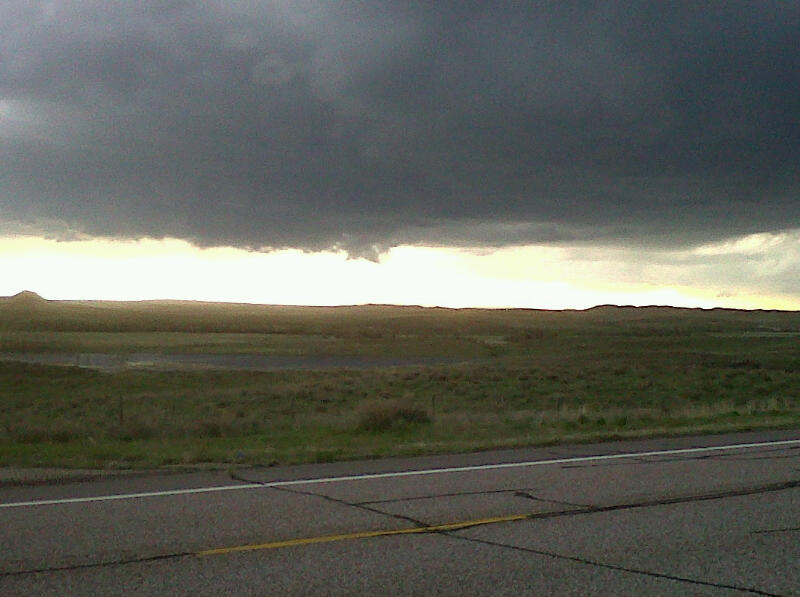
we were headed. On our way north, we saw what looked to be a brief, weak, funnel cloud. We then ran operations on the storm, but the storm
didn't want to cooperate. It failed to produce any additional tornadoes. It had a few RFD pushes, one that went right over us, and we got to pick up
some flattened golf-ball sized hail, but other than that, there was little more to see this day.
Suspicious look under the base as we drew near the storm from the southeast.
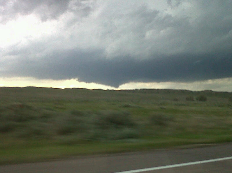
Lowering/wall cloud with possible funnel cloud. Looking westish from U.S. 85 north of Lingle.
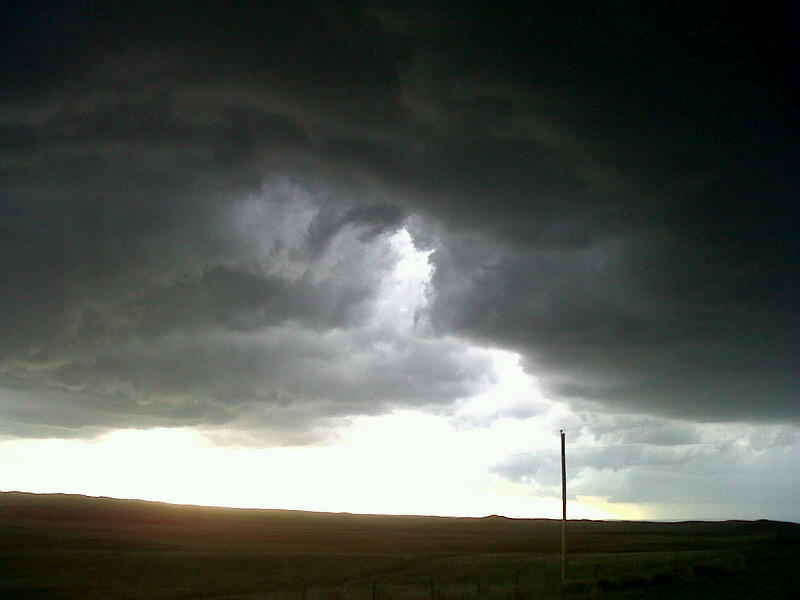
Another suspicious lowering/possible funnel cloud.
Ragged RFD cut about to pass over us. No tornadoes as it occluded in an unfamiliar fashion. No srong winds either, only some small hail.
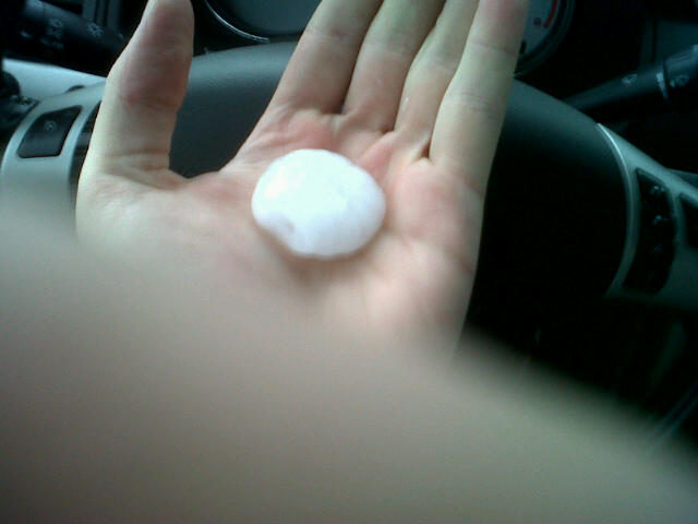
Flattened golfball sized hail we found laying next to the road a few miles north from where we originally stopped and watched failed
tornadogenesis.
We would end up going all the way north to Lusk to get on a decent road east around the storm. We did get to punch through a core that
dropped some small hail on us and we got to drive across a section of U.S. 20 that had some hail fall on it. Coupled with frequent rainbows
it was actually kind of pretty. The storm really began to weaken after we chased it across the border back into Nebraska. We wound up
staying in Chadron for the night.
Return to 2010 - chasing home page