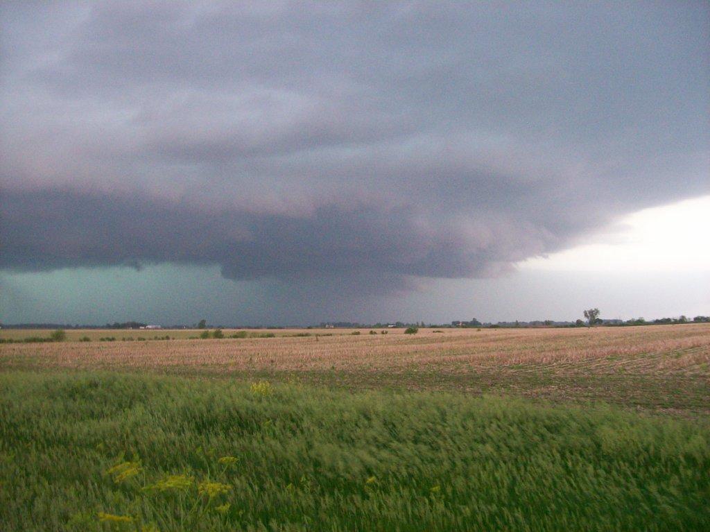
Storm not looking so great now. Looking northwest from the intersection of County Roads 15 and P4 in Washington County, NE.
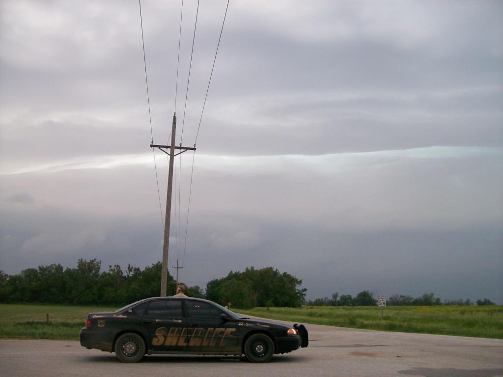
"Hello, officer! ...Yeah, we're storm chasers." Not far from the actual conversation had with this pretty cool cop.
This day never looked too impressive to me, but since it was a local event, and since Logan convinced me I owed him a wedge tornado after the two I'd seen on May 22nd and 24th, I figured I'd give it a try. He, Adam, Ryan, and I left Ames in the early afternoon with a general target of near the Missouri River in far W IA or far E NE. The region of interest featured backed SEly winds as well as high moisture content, and was not under a deck of clouds to limit destabilization.
We saw an outflow boundary from storms that had fired around the SD-NE border area earlier in the day and figured that would be a good place for initiation. As it turns out, it was. Between 1:00 and 2:00 PM, storms fired along the OFB, which extended west-east through central and eastern Nebraska. As we sat at a truck stop just north of exit 40 on I-80, I saw on radar one particular part of that line of convection begin to intensify rapidly. I immediately knew it would become supercellular, but it was 80 miles to our west at the time. Thus, we booked it west to try to get to the storm before it became a mess, which is what the forecast called for. On our way, at around 3:15 PM, I jokingly told my partners, "this storm will be tornado warned very soon...by like 3:30." Sure enough, at around 3:25 PM, it went tornado warned.
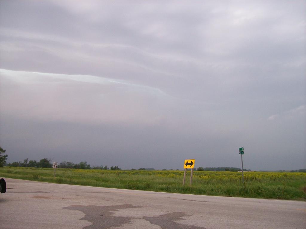
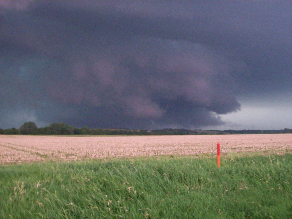
We crossed the river on Highway 30 and went through Blair. Then we cut north on County Road 15. We were trying to get farther west before we went north, and in retrospect, we could've made U.S. 77 north in time. Oh well. We pulled up next to a local Sheriff at the intersection of County Roads 15 and P4. Despite our speedy westward progress, by the time we got there, the storm already looked like it wanted to go linear.
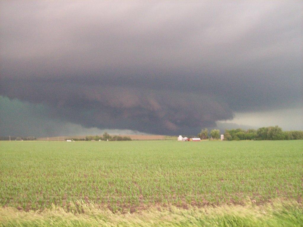
Since our northwest route got cut off by the approaching storm, we had to go east to get back to U.S. 75 near Herman. As we headed north towards Tekamah, the storm appeared to pulse up and become better organized. So we stopped just south of town to see what we could see. The storm had a pretty meaty wall cloud, but there was little rotation in it, and it had a look of outflow to it.
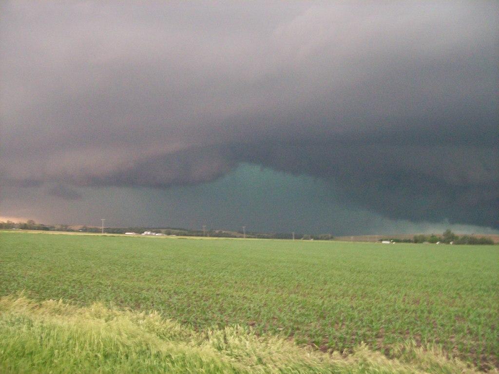
An advancing RFD surge to the south of the area of interest (a tornado report did come out of this after we left, but it didn't look too impressive) caused us to flee south to get out of the way. Due to the river, that meant we had to go all the way back through Blair and across the Missouri on Highway 30 to get back into position. Although the visual appearance of the storm didn't degrade much through this point, the radar signature clearly showed a linear MCS was forming around it. Thus our storm had basically started to join a squall line in which the only area of interest was becoming a narrow inflow notch in the front of the line. We stayed there as long as we could, stopping near California Junction, IA, just north of 30, to get our last looks. During this time, a violent CG barrage began. Too bad my new camera would not come until the next day. Frequent, vivid lightning was the highlight of the remainder of the chase.
While this was happening, a cluster of cells had developed in south-central Iowa, going supercellular and eventually producing an EF2 tornado. We weren't happy, but there was little more we could do. Instead of playing around with the squall line, we headed east on I-80 back towards home. Noting some new development just north of the interstate around Audubon, we decided to take an alternate route home along state highway 44. We essentially drove through three or four different cores, noting some nickel sized hail with one of them and some wind gusts associated with a downburst between Panora and Dallas Center. Noting frequent lightning strikes to the array of TV and radio towers near Alleman on our way back to Ames, we stopped along Highway 69 to watch the show...the show that ended the moment we stopped. What's funny is that there was a photographer sitting in the park & ride we stopped at with his camera pointing up at the towers. He was most likely getting some good lightning shots until we stopped next to him. He drove away within a few minutes...haha.
Return to 2010 - chasing home page