June 21, 2009 chase account
The 2009 chase season started out with a very active pattern in April, then no activity in May, and then
the June that wouldn't stop. This would be my fourth chase in a week! I didn't really plan on chasing this
day when it came, but after watching things develop, I figured since it was a local chase, then why not?
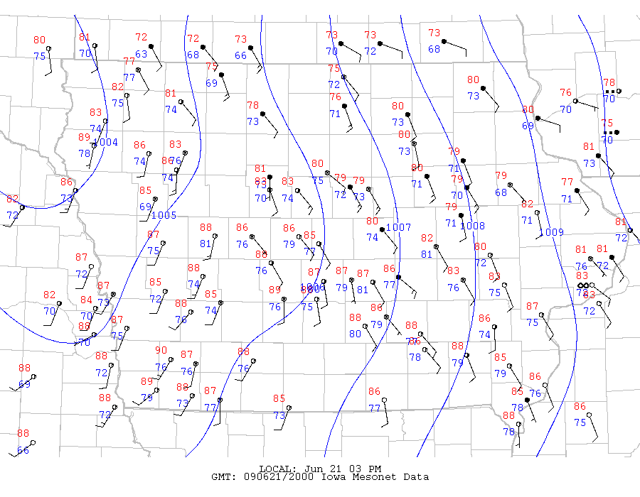
This was a very unusual chase. The atmosphere on this day resembled that of the tropics. Lapse rates were
moist adiabatic almost all the way through the profile. Just check out the 12Z, 18Z, and 00Z soundings from
Davenport
and the 12Z sounding from Omaha.
Thermodynamically speaking, the amount of CAPE would be directly related to the amount of warming and moistening in the boundary
layer that would move the parcel path enough to the right. Insufficient
warming would result in absolutely no CAPE, because dΘe⁄dz ≈ 0 from surface to tropopause for the soundings, meaning surface parcels
would have the same theta-e value as the rest of the sounding.
Shear wasn't very impressive, but it was enough to warrant a tornado threat.
Luckily, morning convection had laid an outflow boundary, giving
southeast surface winds
to increase low level shear. Funny how much the surface features look to a few days ago (the 18th). Fortunately,
700 mb temps
were not as high this day, so capping was not much of a problem. All of this set the stage for a day in which
12 tornadoes (all EF0 except for one, which was rated EF1) occurred in a small area. I saw one, at least one funnel cloud, and
several wall clouds, and possibly more.
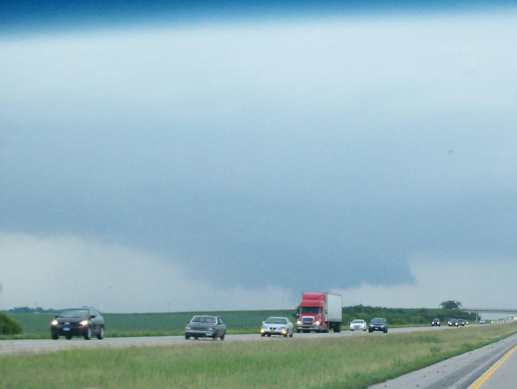
I headed out at about 3:00 PM with several ISU students just a little north of Ames. We moved north between Highway 17 and 69
towards Stanhope and Kamrar, where we first started hearing reports of funnel clouds. We then headed east to I-35 and north to
Highway 20, where we witnessed a wall cloud to our northwest. We were hearing reports of funnel clouds and tornado sightings from that
storm and from storms elsewhere nearby, so we weren't sure where to focus. Eventually, we went slightly east on 20 for a few miles, then
went south and watched another wall cloud lazily move on by to our north. After watching it look impressive but do nothing, we continued back
to 20 and went east further.
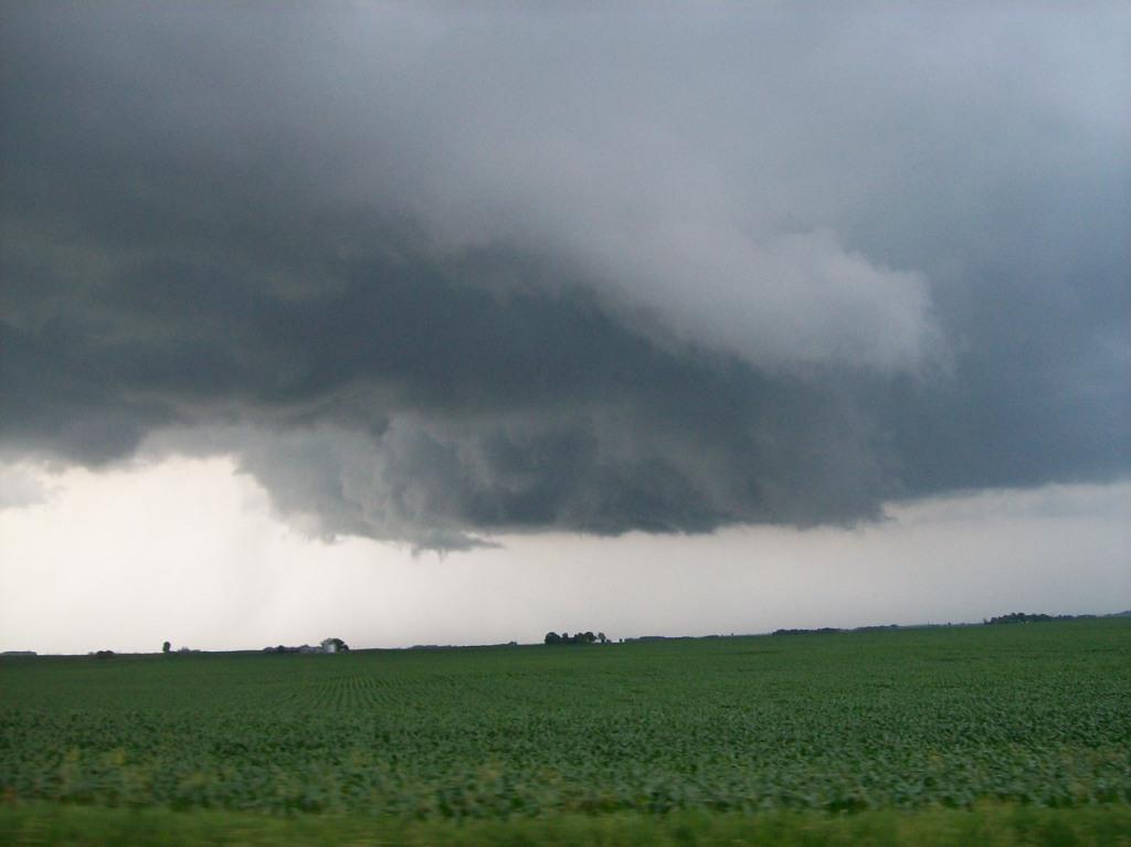
Wall cloud that fell apart as we neared it going north on I-35 towards Highway 20 (cropped).
Wall cloud with RFD cut forming. Picture taken on Highway 20 somewhere near Owasa looking northwest.

Same wall cloud moving away. Taken from exit 175 on Highway 20 looking northwest.
The story of the tornado I did see: it was the one near Cleves. We were sitting on a hilltop watching the
storm, and I had my video camera running. I was recording some good upward motion near what I thought what was
a wall cloud (it was hard to tell anything this day). I believe I got a funnel cloud on video, but at the time
I didn't think it was one because it didn't appear to be rotating. I had to watch the video sped up 2X or 3X
to actually see the rotation on it. Suddenly, you hear me saying, "Hey, look at that! HEY!" and pan over really
quick to a 3-second view of a twisting, writhing, vortex spinning a good 3-5 miles away. It quickly either
dissipated or moved in behind rain, because it simply appeared to fade out of existence. It was a really wispy,
non-solid funnel. It kind of didn't look like a funnel cloud, which was causing everyone else in the group to
discount it as anything. Funny thing is, about five minutes before this, I saw the exact same shape closer to
us (and I have it on video), but I'm pretty sure that one did not touch down. Perhaps it did, though. It was
behind some trees after all. From other pictures and accounts of this day from other chasers, though, I saw
a lot of pictures that had this shape in it, and others were calling them tornadoes. So I don't know.
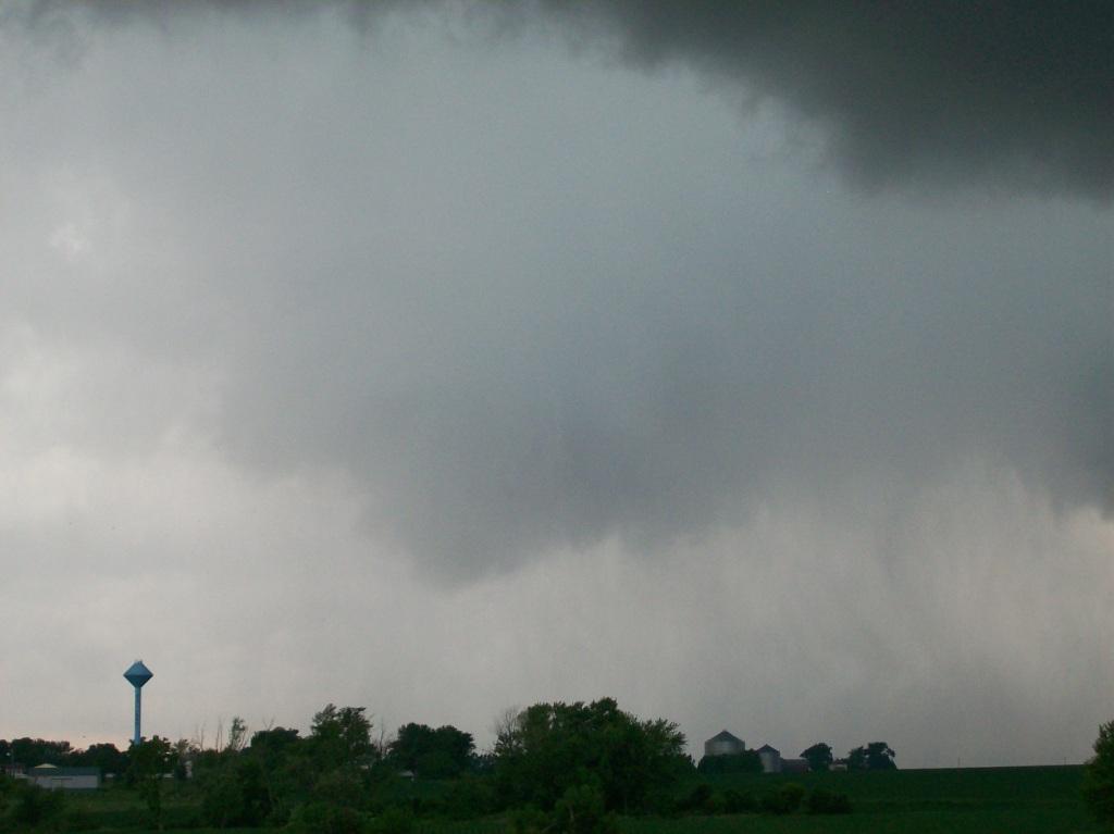
As we approached Holland from the north, we could see a very clear cut RFD punch down and wrap around a
mesocyclone, but it was really wet in there, and from where we were (we waited there until the meso was almost
entering the west side of the very small town), we saw no tornado, at least nothing obvious. Yet, somehow,
Andy Gabrielson got video of a tornado in there
ripping something apart and hitting his car with debris.

This three image sequence shows the RFD cut with hidden tornado west of Holland. We sat on M Ave.
just east of town.

When we got to Hudson we gave up on the main cluster of storms that produced all the tornadoes and headed south to
intercept another cell that had popped up to our south near Traer. It lost its potency and went outflow dominant
before anything interesting happened, however, so our day ended at the intersection of Highways 8 and 21, watching
a measly shelf cloud overtake us.
Colorful shelf from the last storm after it went outflow dominant.

Typical Iowa shelf cloud...very gray.
In summary: We basically saw
storms fire and go tornadic very quickly the whole day. The strange thing about these storms, however, was that
they all seemed to be low-topped. We could clearly see an updraft go up, but it seemed to stall out well short of
the tropopause. However, there was enough stretching and tilting of vorticity in the low levels to generate
small mesocyclones that produced small tornadoes.
One frustrating thing about this day was that we were hearing reports of funnel clouds and tornadoes left
and right within 10-15 miles of us, yet we weren't seeing them because we were probably too far away and lots
of them were wrapped in rain, so you almost had to be right on them to see them. This was the case near Jewell,
Owasa, Cleves, Wellsburg, and Holland. I wasn't driving, nor was I leading the "expedition", so I had no
control over where we went, but it is my opinion that we were staying too far away from these storms.
Other images:
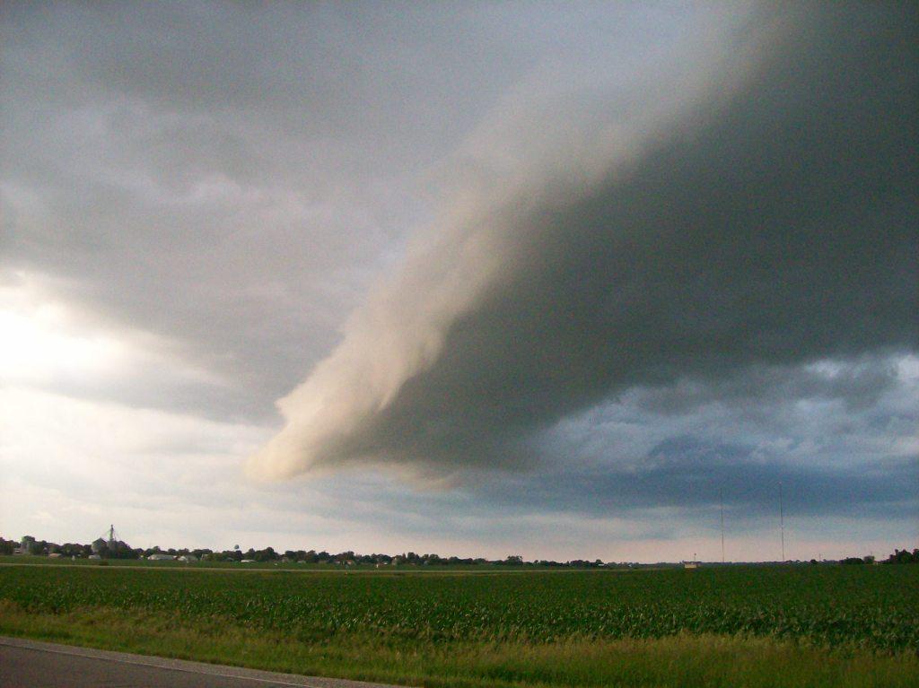
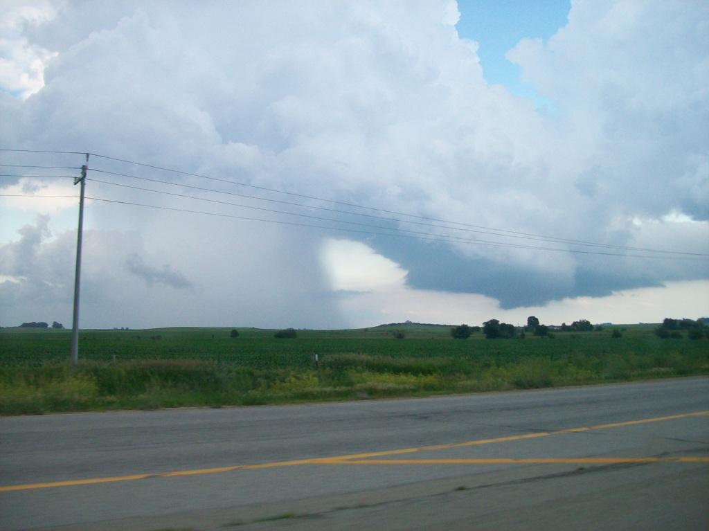
| I know it doesn't show the cloud top, but a picture just showing the odd structure of the storms
this day. Look at the narrowness of the rain shaft on this towering cumulus cloud! |
 |
Return to 2009 - chasing home page