

This would be only my second chase in Minnesota. Welcome!
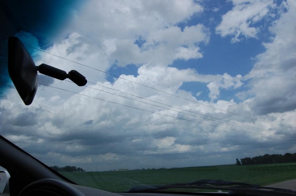
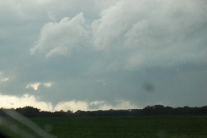
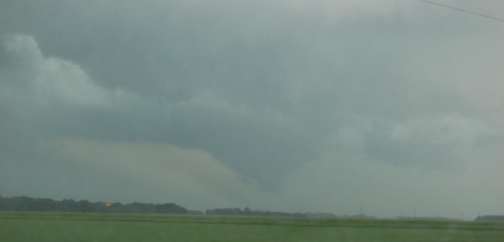
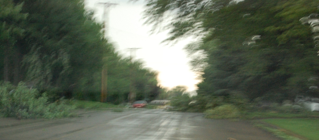
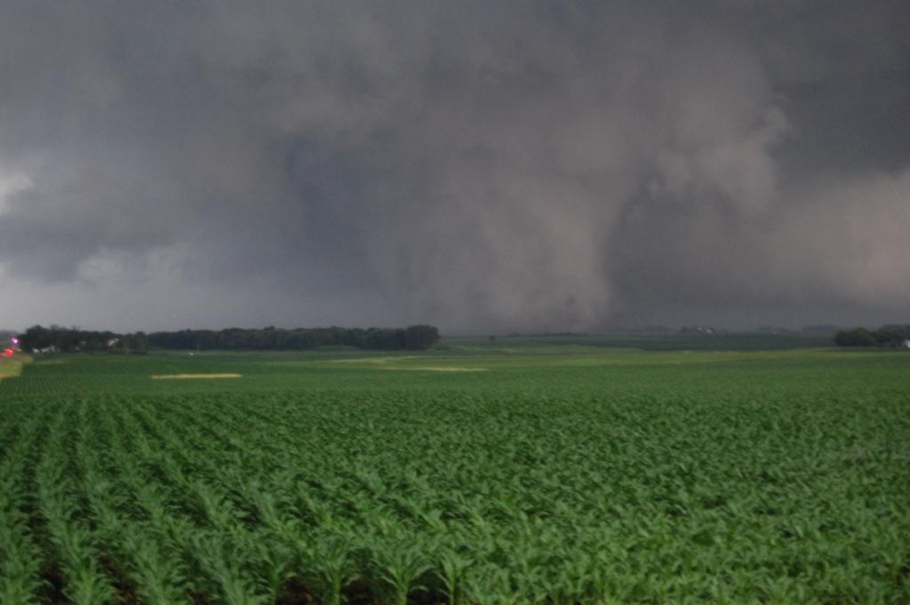
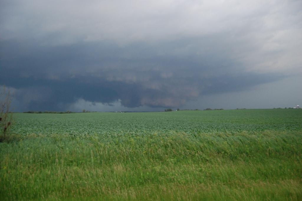
CU field near Spencer.
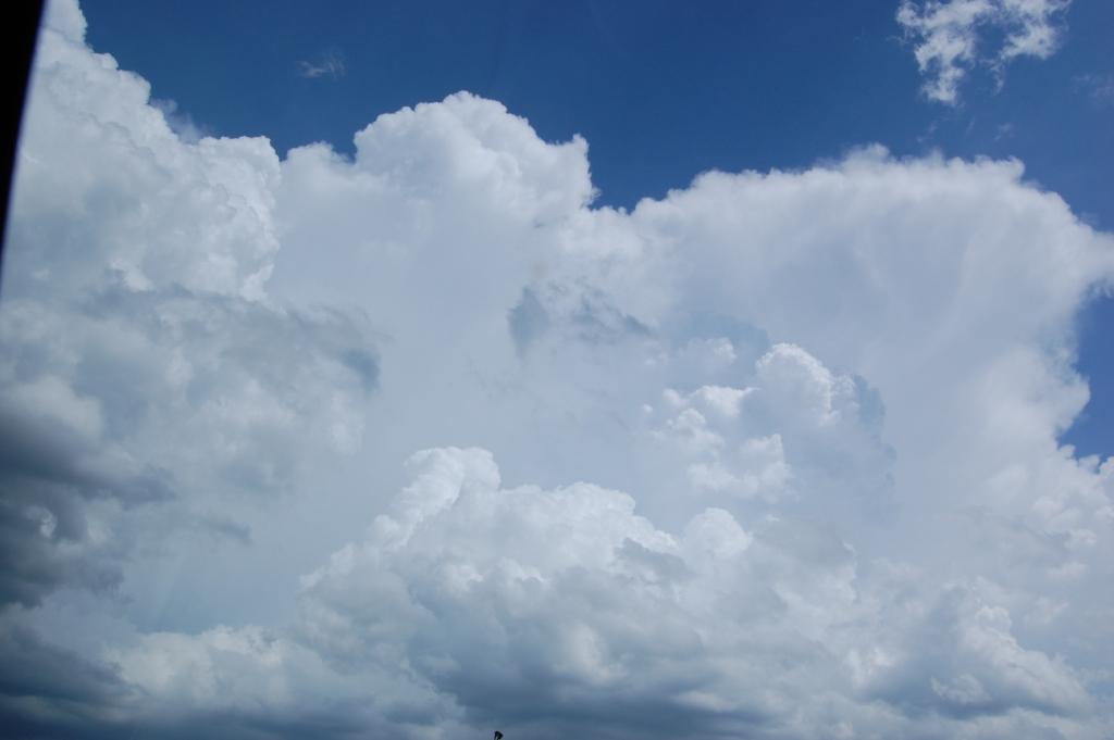
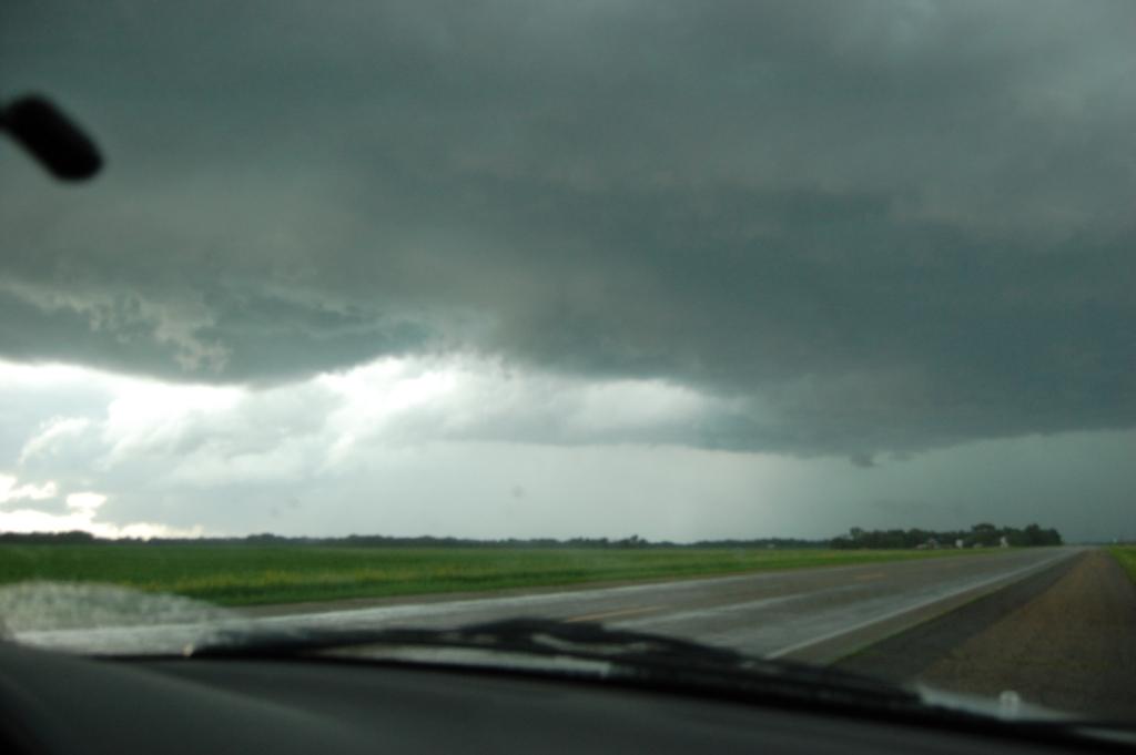
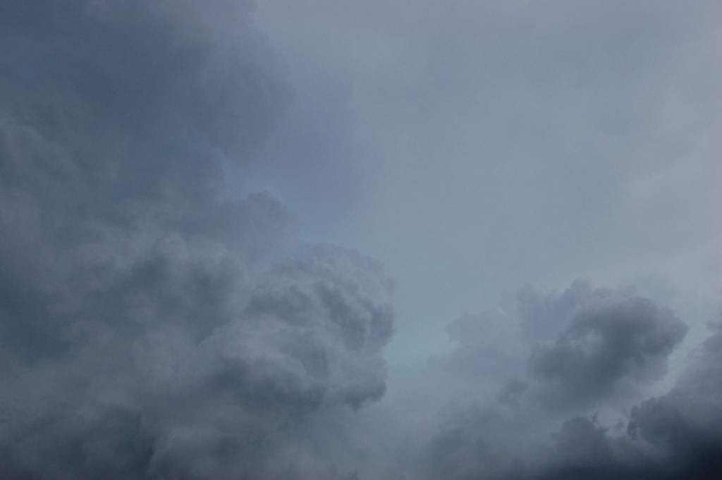
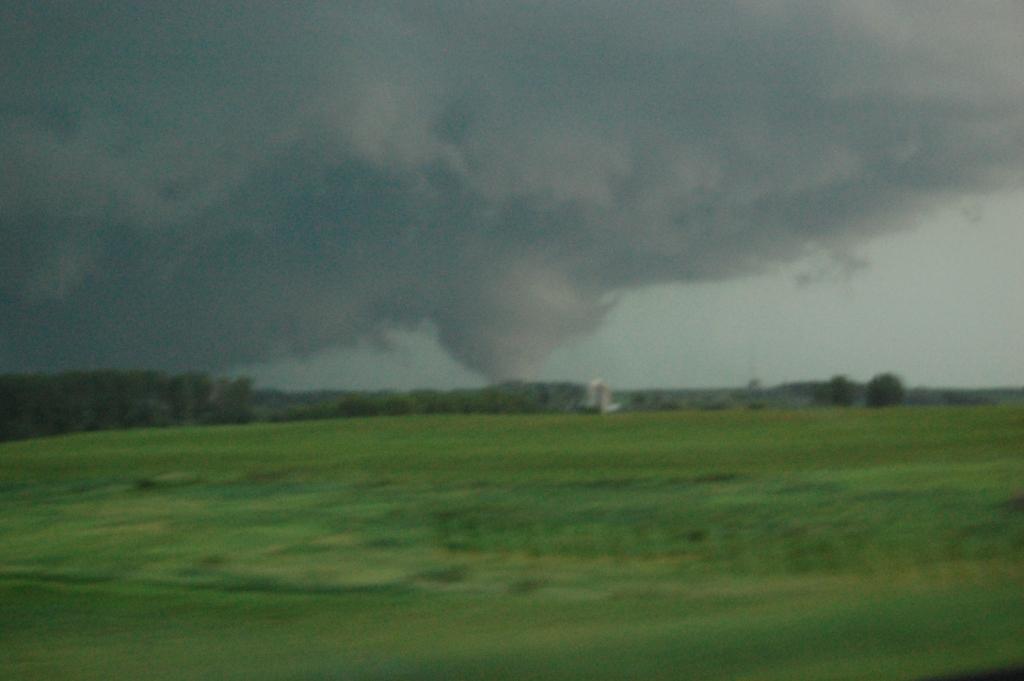
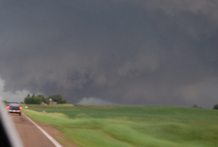
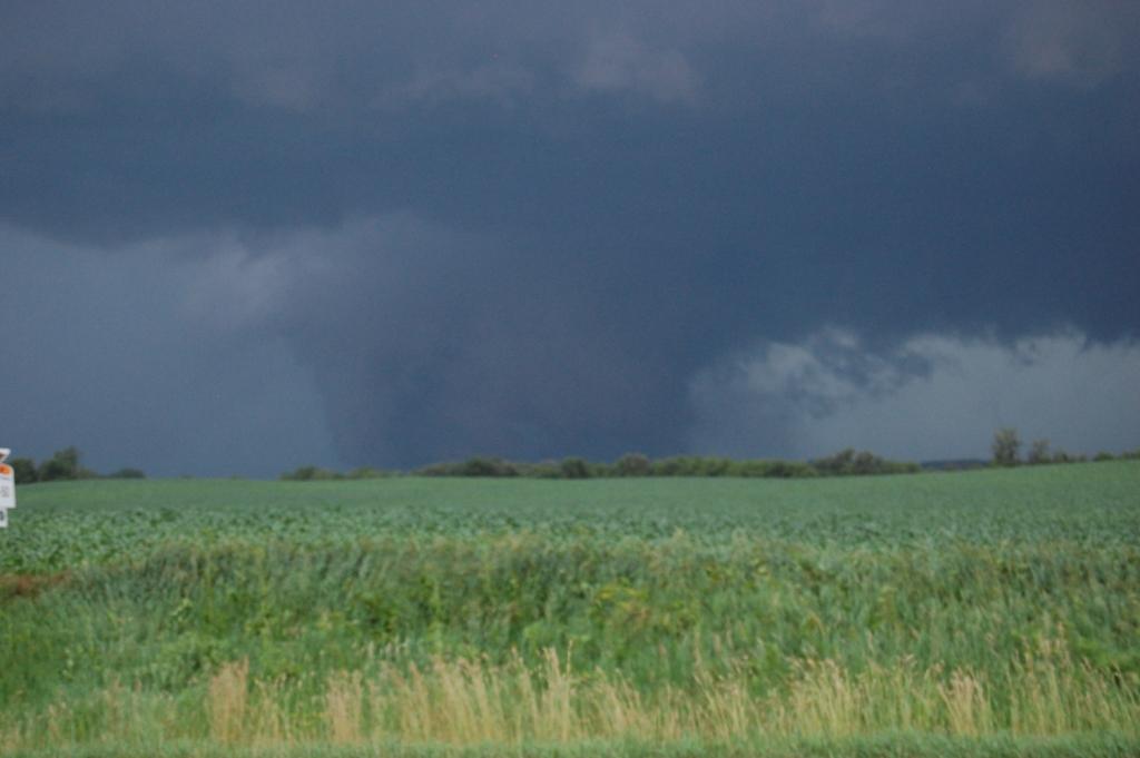
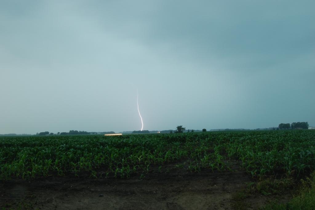
Initiation from the vantage point of Jackson, MN.
This would be the best chase day of my life. I saw nine (9) tornadoes, including another EF4 and a few EF3s, and I only had to travel 600 miles to do it. This would also be my first chase with my new camera - a Nikon D40 DSLR. I got some good use out of it this day.
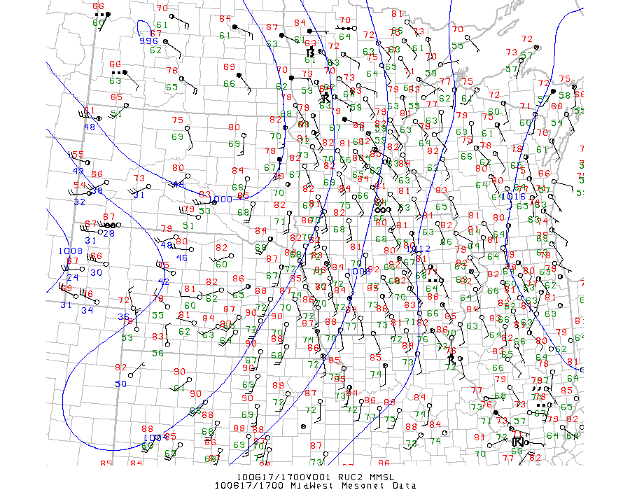
Information on the Minnesota tornadoes is available at this link.
I knew of the possibility for a big day a few days in advance, but I had no idea it would turn out like this. Adam, Ryan, Logan, and I left Ames at around 11:00 AM with an initial target of Spencer, IA and points north and west of there. The one thing I saw immediately that I liked was the strong SSE winds with dewpoints into the 70s. Although 700 mb temperatures were a tad on the warm side, the advancing front, which was more of a dryline, would provide sufficient forcing to initiate storms. The big questions were where would they initiate, and where would they go?
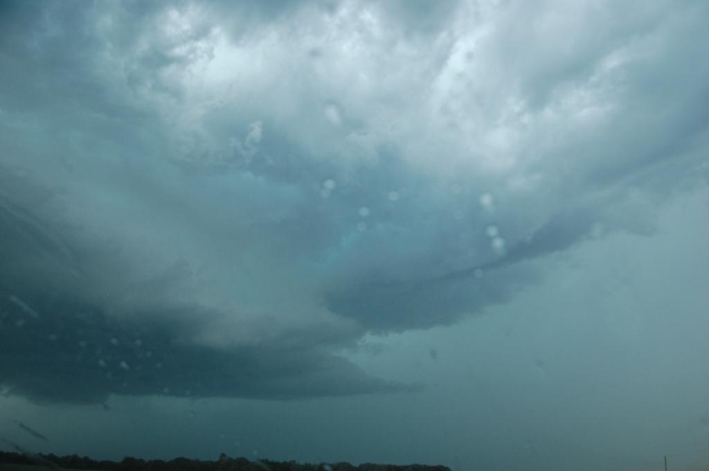
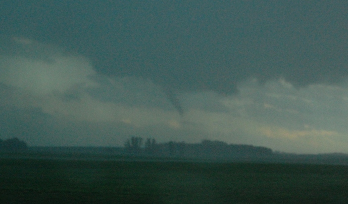
As we got into Spencer, a cumulus field sprouted over us. This was good. We noted that the clouds were hauling north, probably in response to the strong LLJ. The HRRR was indicating that initiation would occur to the east of where the other models had it, and with veered surface winds encroaching into western MN, indicating the boundary was advancing faster than progged in all of the models except for the HRRR, we adjusted north and east, eventually reaching Jackson, Minnesota, as convection started going.
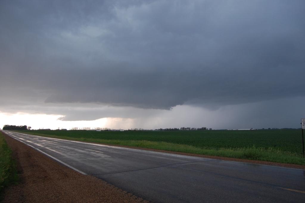
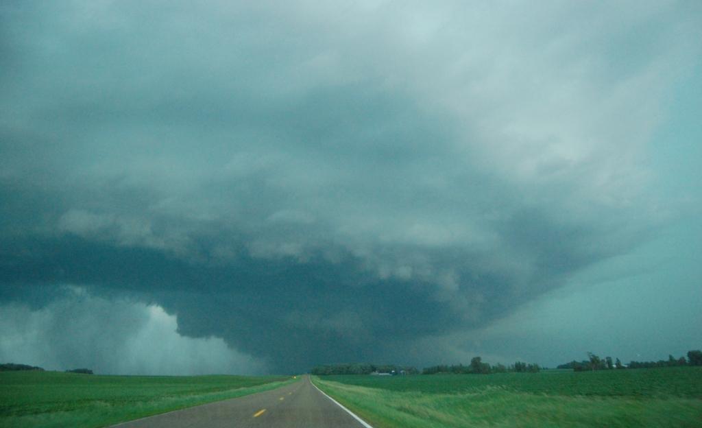
Initiation was neither pretty, rapid, nor omnipresent. It occurred much earlier to the north in North Dakota and central Minnesota. In fact, by the time it began in southern Minnesota, there were already tornado-producing supercells in both states. The initial convection was multicellular, slow, and somewhat unorganized. I wasn't impressed with the look of the updrafts either. It's very likely the warm mid-levels played a role in this. Nonetheless, as storm motion was to the northeast, as was ours.
We headed east on I-90 and drove through a tight cluster of three or four small cells. We stopped briefly in Fairmont as one of the evolving parts of the cluster hit town. What intrigued me was the presence of strong, warm, southerly winds as the heavy rain core passed overhead. My instincts told me that we should go north, as if the winds were some sort of inflow. These storms did not look at all impressive on radar, but something told me we should stick with them. Sure enough, not long after we went north out of town and then east, the storm grew an innocent looking lowering. Although the cluster was still in the process of congealing into a bigger storm, this lowering was under a rain-free base, and the precip core that I could see was in the right spot (ahead of it). Watching it from the southeast side, we became pretty confident that we were witnessing a developing supercell, especially as warm and very humid southeast/inflow winds continued despite intermittent heavy rain.
As we chased the storm north on U.S. 169, it finally looked like it was going to put down a tornado. An RFD cut formed and started wrapping around the base of the storm. At one point, an appendage emerged from below the occlusion area, but it was never rotating. As the RFD continued to push, it began to look outflowy behind it, and looked less and less like tornadogenesis was imminent.

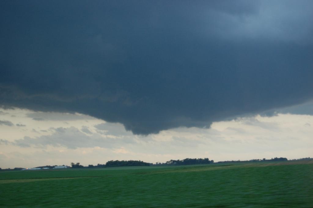
Around this time we started seeing a few storms to the south in extreme northern Iowa getting tornado warned. Moreso, some tornado reports were starting to come out of those storms. Given ours continued to struggle to get its act together, we made a somewhat easy (but I'm always worried such a call is gutsy) call to abandon our storm and head south. We got onto County Road 13 and flew south, entering the FFD of a supercell that was mainly southeast of Blue Earth. A complex sequence of storm mergers was occurring to the south. There were two storms in Iowa that went tornado warned initially. They then merged and the resulting storm eventually merged with another storm just to its north. We arrived in the area just as this second merger was nearing completion. Thus we missed the first several tornadoes that touched down in far northern Iowa, as well as a weak tornado that touched down just northwest of Elmore. However, just as the Elmore tornado report was coming in, we were making the turn south onto Highway 169 in Blue Earth. As we moved south trying to decide what to do, a very suspicious cloud formation appeared several miles to our southeast:
It was very difficult to determine what this feature was. It hung so low it was very tempting to call it a funnel cloud. However, the movement and evolution of this feature did not lend credence to that assumption. I think this was probably some sort of tilted cloud column. We were looking at it at such an angle as though it appeared to be tilted straight up and down. It was likely outflow related, and not tornadic. This event helped us decide where to go: we turned east on 40th St, drove east a few miles, then sat for a few minutes just to the west of this feature, and right under the edge of a new updraft. It was going up behind the merged storm and nearly directly over our heads.

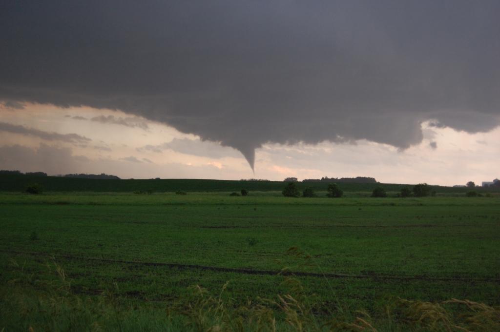
We continued east on 40th St., then 50th St. Shortly after making the turn east (right) onto 50th St., I looked to my right and saw a suspicious cloud feature a few miles to the south-southeast. After a few seconds of staring hard at it, I saw that it was rotating! I told everyone this, but I don't think anyone saw it right away. At the moment I saw it, it didn't appear to be in the right spot. But that was just me.
We slid east slowly. After a few minutes, the rotation became much more obvious. Finally, Logan said, "Ok yeah, it's rotating."


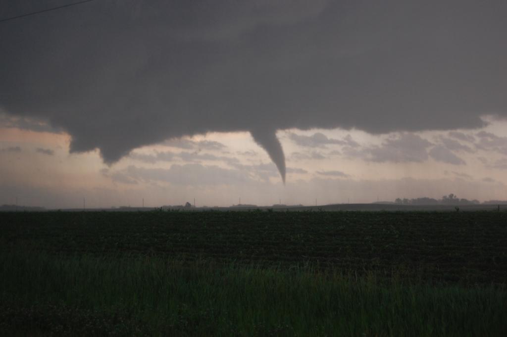
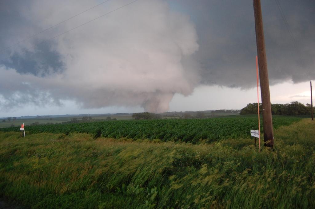
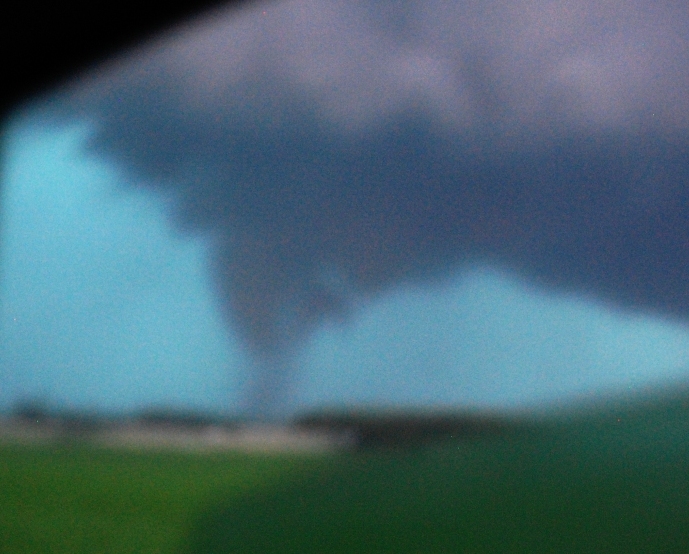
Within seconds, we had our first tornado(1) of the day, a slender cone.
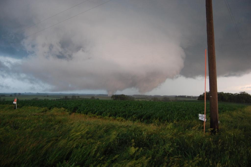
The tornado hopped around the Minnesota countryside. It didn't stay down for long (a mere two or three minutes), but it was not going to be the only show of the day. The tornado roped and lifted once, then came back down. As it lifted for good, a two-vortex (i.e., multiple-vortex) sister(2) touched down just to its northeast.

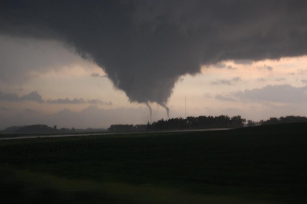
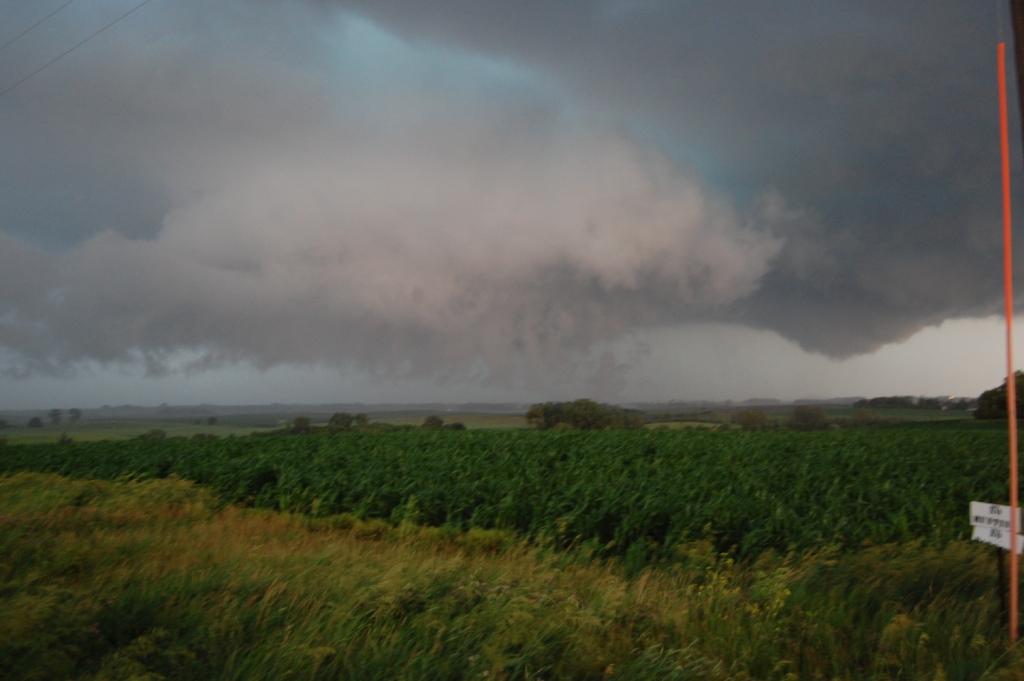
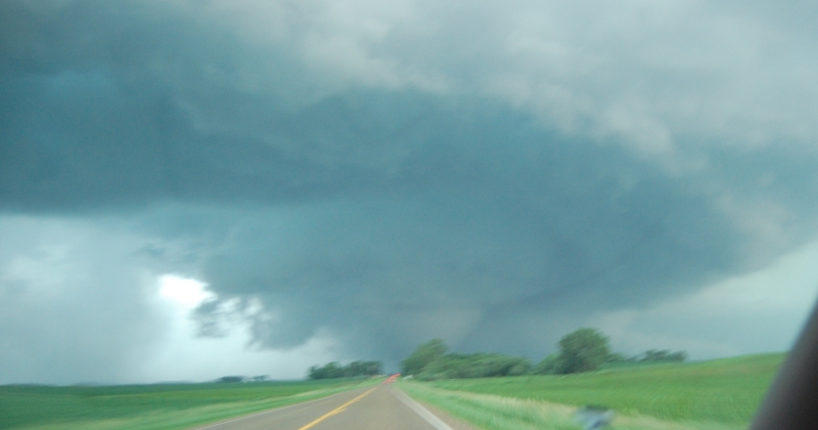
This tornado lifted shortly after crossing 35th St. in front of us (on the road, at least...there were some turns in the road). However, as soon as that one was done, yet more activity was to be seen to the southeast. A few miles that way, a large rapidly rotating wall cloud (you might even have called the rotation violent) loomed. It soon produced another multi-vortex tornado(3), and this is where things really heated up.

After the officer moved east, so did we, a few miles in fact. We stopped again at a clear spot near the top of a hill a few miles west of Kiester when this tornado went crazy. The motion with it was violent. The wall cloud hung so low. A satellite tornado(4) appeared briefly. Then, as the main tornado POOFED out of existence, another wall cloud/mesocyclone from this cyclic supercell appeared and spat out another tornado(5) to the east of the main one.
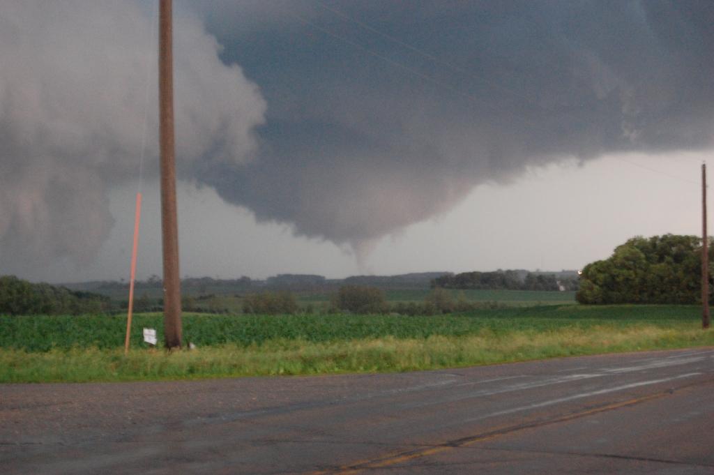
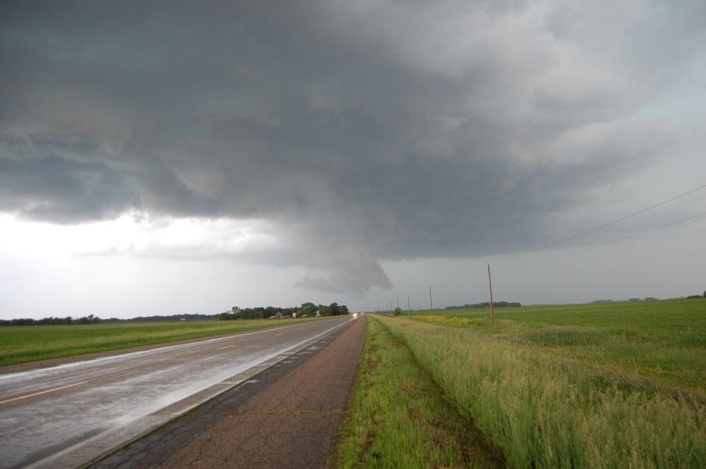
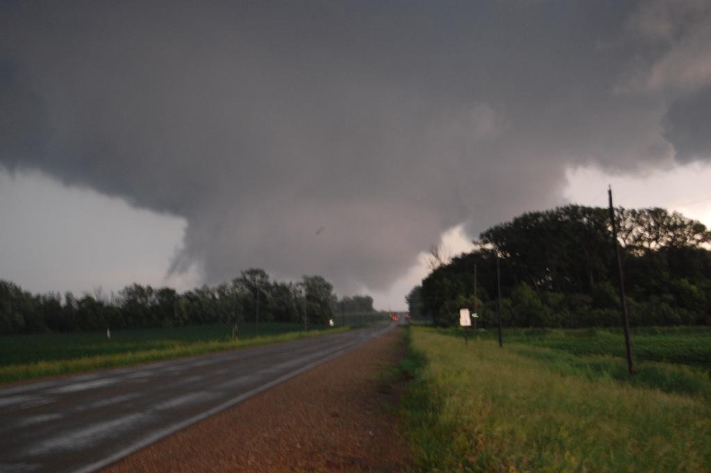
We turned north on state highway 22 on the east side of Kiester. However, seeing flashing lights up the road, we figured it was blocked ahead. Thus we had to turn back and continue east on 35th St. We did our best to get north, but for the first several miles east of Kiester, it seemed many of the main west-east routes north and northeast of town were blocked by flashing emergency vehicle lights. Thus we had to go more east than north. I thought that would be fine, as most tornadic supercells tend to turn right (more to the ENE or E even than NE). This storm, however, did not do that. Due to the likely rotation around the parent mesocyclone, this main tornado (the one rated EF4) actually turned left and moved more NNE. Thus, the farther east we chased it, the farther away we got from it. Until we got near Albert Lea, we were pretty much always south or southwest of the tornado. But it was a mean tornado.


We were coming up on Albert Lea to the east. There was no safe way around the west side of town, so we bypassed as much of it as possible and got to I-90 and then went north as fast as possible. Around this time, the entire area was going up with convection, so we started getting rained on a lot and lost visibility of the big tornado. After the big one finally lifted, another strong tornado touched down and moved north-northeast just west of I-90. I'm pretty sure we saw this one, called the Ellendale tornado(6).
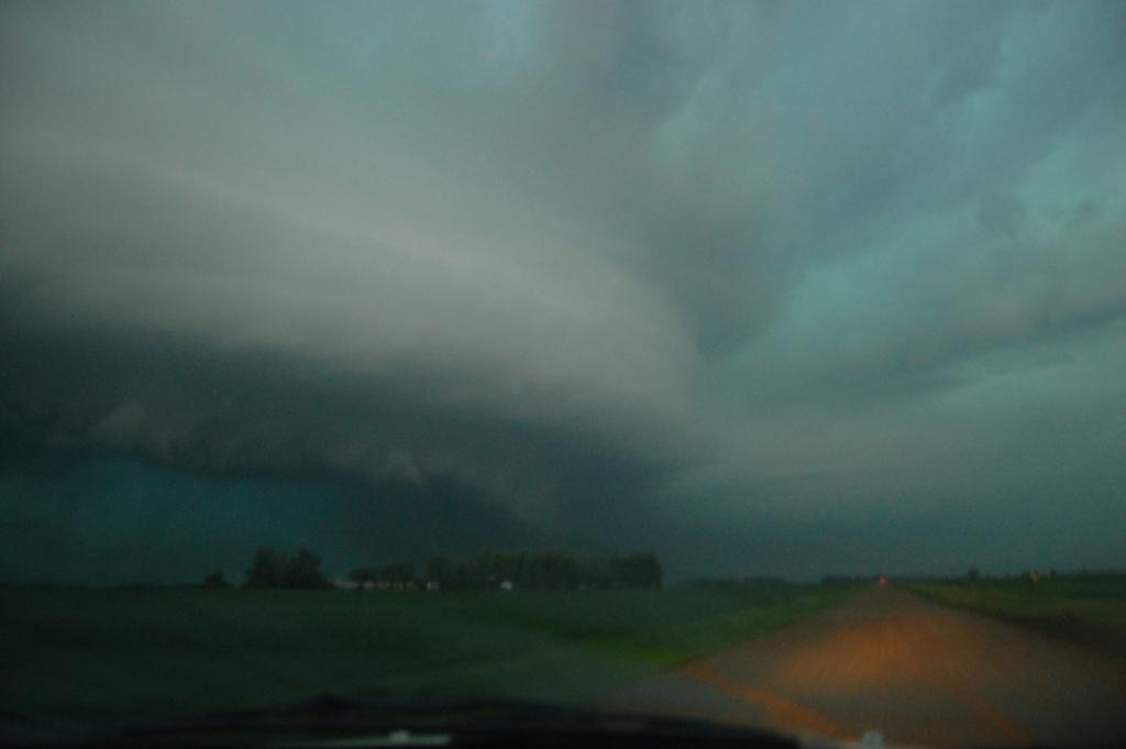
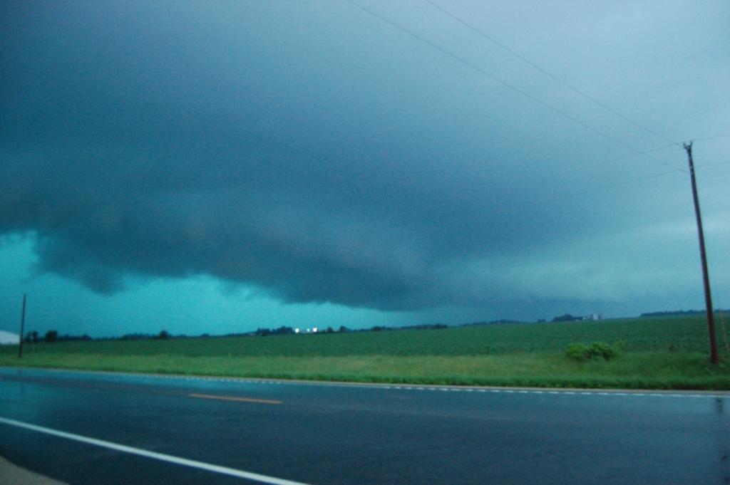
We couldn't stay with this supercell much longer, as it was all becoming a big precip mess, and it was getting dark. Low visibility chasing is dangerous. Thus we got on County Highway 35 and headed east to get out of the way of the storm. We were intending on taking U.S. 218 back south to Austin and on our way home (we figured the chase day was over). Out of interest, I decided I wanted to get some lightning photos. Just like on June 1st, the CGs this day got frequent, vivid, loud, and violent quickly once we passed Albert Lea. Thus we found a nice nook just off of state highway 251 off of 218 and I got a number of single CG shots.
Around the time we decided to start heading in the general direction home (just before we stopped to take the lightning photos), we had observed a new cell going up just south of Albert Lea. It even had a weak-echo region on its southern flank. However, since the public NWS level 3 servers were getting bogged down like they always do on big severe weather days, I was only getting updates every 20 - 30 minutes. The particular storm did not show any imminent tornadic threat when I last saw it on radar, so I didn't think much of it until I got back in the car after 5 - 10 minutes of shooting lightning. Adam said, "Uh...this storm is tornado warned...and it looks good on radar." It turned out that the source of the lightning I was shooting was the FFD of a second supercell that had a reported tornado on it 10 or so miles to our west! Holy crap!
We busted west on 251 towards Hollandale. By the time we got within a few miles to the east of town, another large tornado(7) loomed not too far away! We turned north a few miles east of town and stair stepped our way back up to County Highway 35, observing another brief touchdown(8) after the Hollandale tornado lifted.


We met Skip Talbot and company sitting at the intersection of 890th Ave. and County Highway 35. I shook hands with him from window to window just as a nearby CG hit, sounding like a cannon. We then both went north up U.S. 218 to Blooming Prairie. We turned east on state highway 30 out of town and went east a few miles. We stopped one last time and observed one final tornado(9) to the northwest.

Continued lessening light and the feeling of total success caused us to call our chase right then and there. We headed east to Hayfield to fuel up and head home. When we pulled into a gas station in Hayfield, however, the surging storm hit us with really nasty winds. Without having time to fuel up, I jumped back in the car and said, "We have to keep going east or we're going to get eaten." As we flew through town at speeds that I'm sure were well over the speed limit, it felt like the town was about to blow apart. Winds became very strong, and I thought I felt the car jerk in differential motions at one point. Given how the storms had acted all day, it wouldn't surprise me if there was a brief ground circulation that passed over us. Anyway, we managed to get ahead of it, then turned back west on I-90 south of Rochester. We ended up punching through a weaker portion of the surging storm without further incident. We had our steak dinner at Applebees in Austin, where I had a good word with Skip and met Adam Lucio and Danny Neal. I believe Simon Brewer, Juston Drake and a TWC crew were also there filming part of a show.
A fantastic lightning show led us all the way back to Ames as the storms evolved into an MCS and swept across the state. I tried unsuccessfully to get more lightning images. Whatever, we saw nine tornadoes this day!
Return to 2010 - chasing home page