May 29, 2012 chase account
This day wasn't meant to be such a memorable day. The potential for severe weather was there, but shear was going to be marginal, so
I wasn't expecting too much. I conversed with Mason all day about when to leave. At some point in the afternoon I stopped being convinced
that I'd need to leave Norman hours before storms would fire to see anything. Late-morning and early-afternoon HRRR forecasts were
consistently progging multiple cells going up from northwest to central Oklahoma. In particular, several runs showed a stronger cell with
higher updraft helicity moving through Canadian and Oklahoma Counties around 6 PM. So eventually I told Mason I wasn't leaving until
something was imminent.
As predicted, several discrete storms fired starting around 4 PM in northwest Oklahoma. They were moving southeast, and intensifying.
Seeing a storm that was farthest south with the most open environment ahead of it, I was ready to leave after 5 PM when my wife got home.
My wife generally doesn't like chasing,
as she had a crappy first chase with me - May 25, 2008. However, I convinced her to come with me since
it would be a shorter chase with a greater probability of seeing something. Thus, we left Norman at around 5:30 PM.
We drove to El Reno and turned north on U.S. 81 towards Kingfisher. The target storm had been visible in some way even from Norman.
But the details gradually emerged as we closed in on it. It wasn't until we were just a few miles south of Kingfisher, however, when the
storm finally blocked the bright sun, that we were finally able to determine without a dobut that we were on a supercell with some impressive
structure. Inflow winds picked up as we turned east on state highway 33 to get east of town. The sirens also began to sound even though
no tornado warning had been issued. I guess the emergency manager of Kingfisher county decided he saw enough to warrant warning people.
The storm was moving pretty slowly, so it was easy to stay out of the core, which looked menacing. We would later find out that the core
was dropping hail up to 5" in diameter! We stopped several miles east of Kingfisher once or twice to take photos and video. The storm never
really appeared to be a tornado threat since it was a little high-based and there was very weak shear in the lowest 1 km. Even the wall cloud
didn't make it that close to the ground. The structure was the main show, and it was a good one. I could've really used a wide-angle lens
this day. We were generally too close to get the best structure shots.
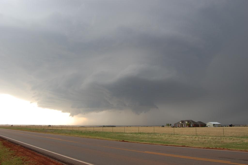
I have been somewhat disappointed with my own shots from this year. Despite a great subject of most images, it seems like so many
of my shots have serious overexposure issues or lack of clarity despite good focus. I'm mostly using manual focus, so maybe my eyes are going
bad. Don't get me wrong: these images aren't horrible, but it just seems like the camera settnigs are screwing things up.
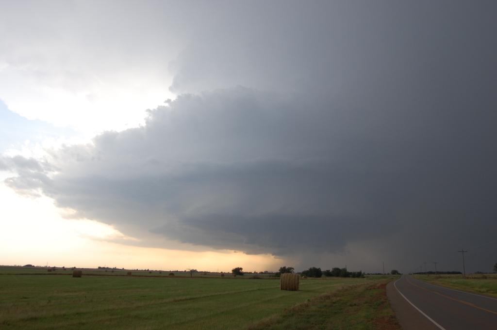
Even this far away from the storm we were getting a constant shower of very large and cold rain drops - melting hail.
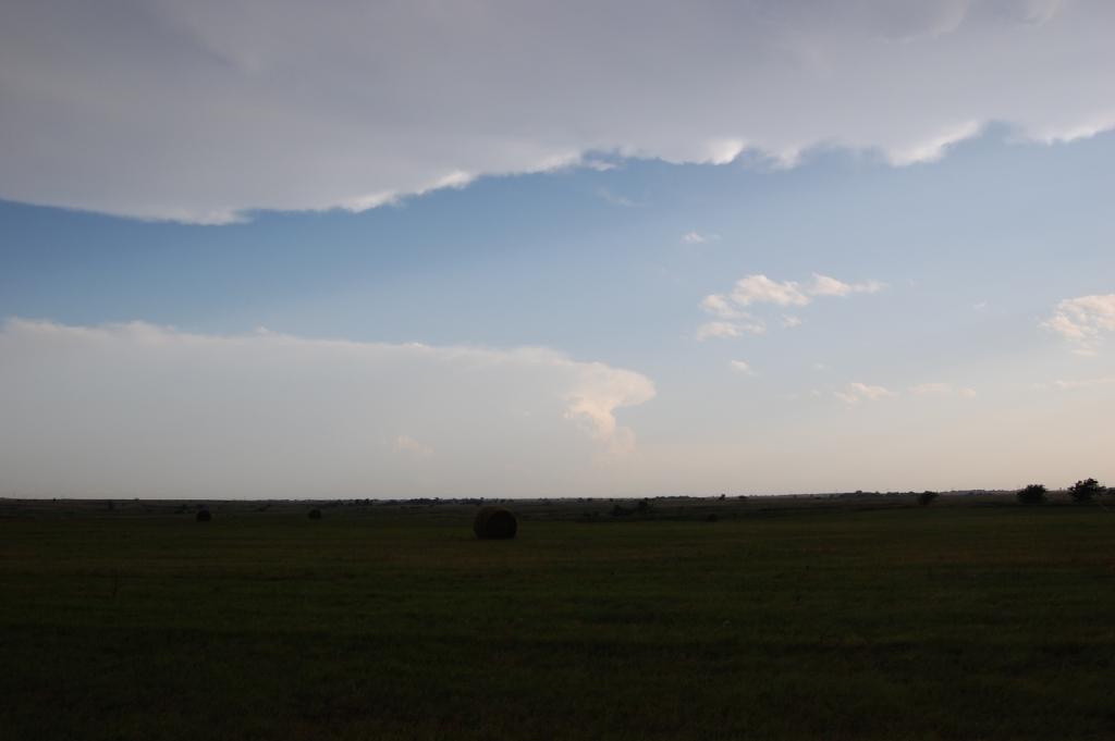
This little guy off in the distance was unexpected, and it would prove to make this day even more memorable.
We found our way to Cashion before stopping again to have another look. The impressive structure and general lack of tornado threat
continued.
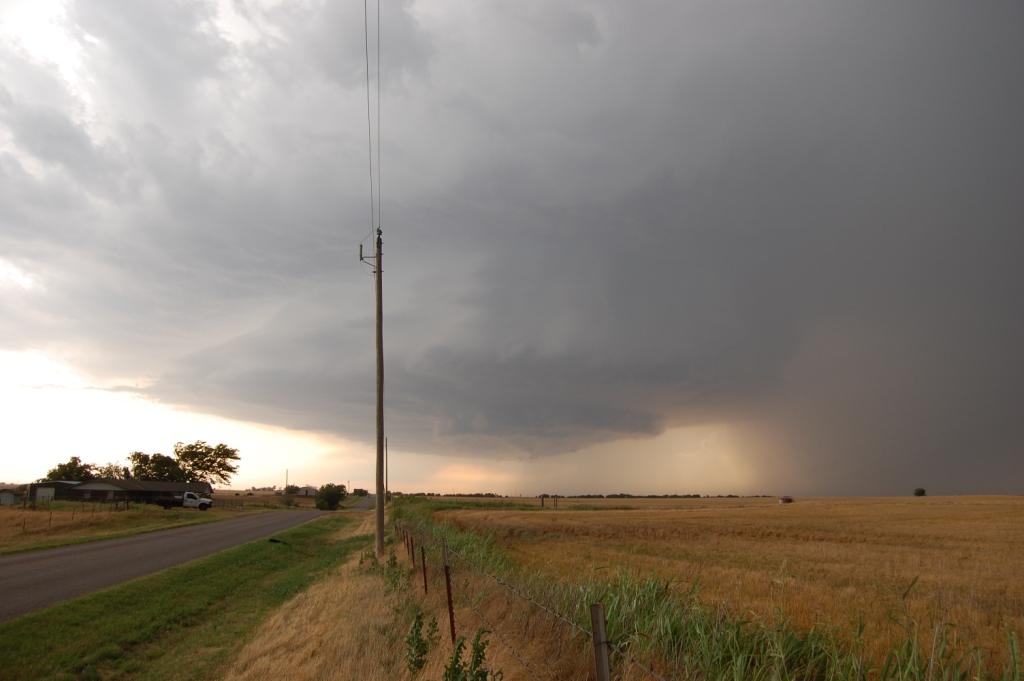
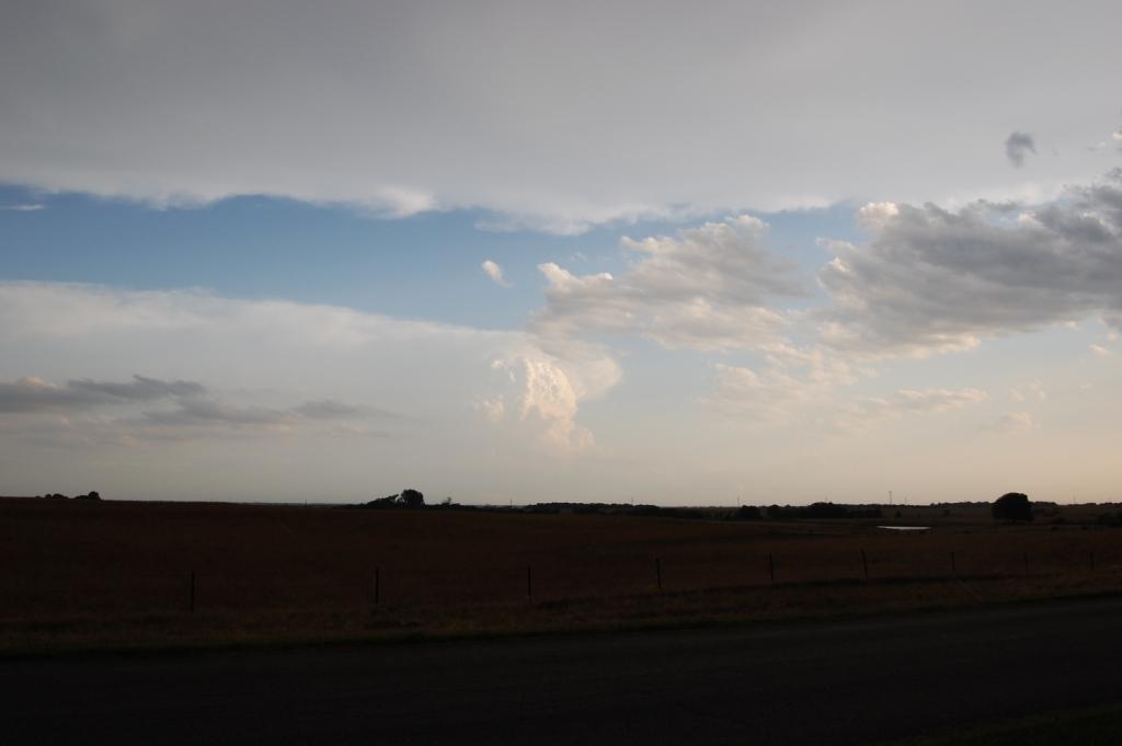
Trouble is on its way...
We continued south on County Line Rd. south of Cashion. At one point we passed an area where the trees were shredded and there were some
dilapidated farm buildings. We realized we were crossing the path of the 24 May 2011 EF5 tornado. We were pulling well ahead of the storm by
this point, but we were also having trouble finding good places to stop. It didn't matter so much since the structure wasn't really as good or as
visible as before. We decided to turn back west at NW 178th, a few miles due east of Piedmont. We drove through Piedmont on Edmund Rd. until the
road went to crap on the west side of town. Seeing little of interest, but not wanting to get caught trying to get farther west, we turned back
and drove to the south side of town where we stopped and watched in a dirt lot. The storm wasn't far away, but it was still only crawling southeast.
So we had plenty of time to watch. The storm appeared to become somewhat better organized as we sat and watched.
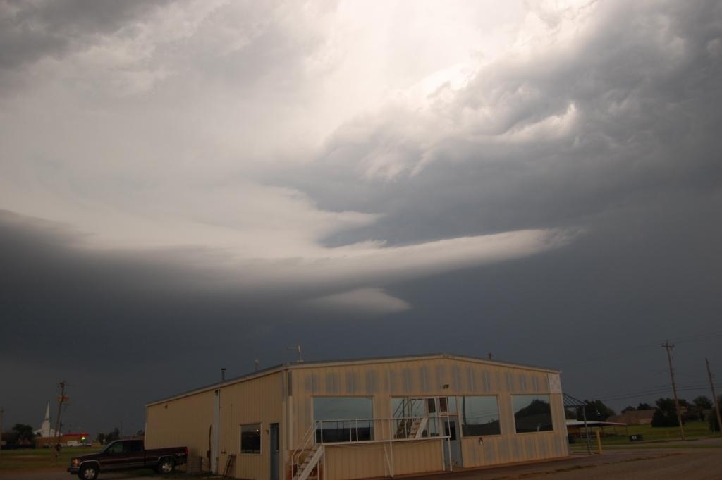
The storm developed this inflow tail which lengthened rapidly. Motion into the storm was very evident and moderate.
Of course there would never be a storm within 100 miles of OKC in May without the local media copters on it. This was the beginning...
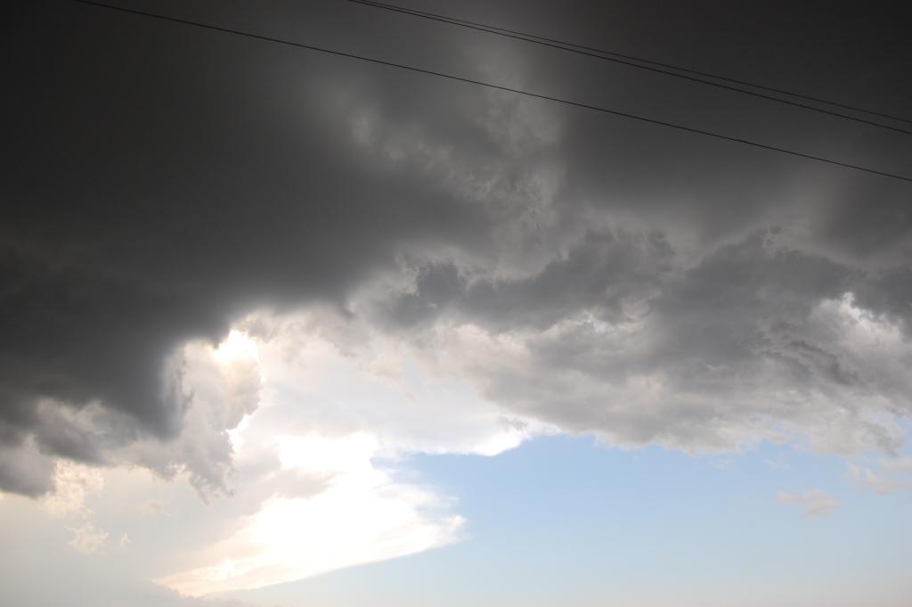
Motion in the wall cloud wasn't impressive, but the motion in this area at the outer flank of the storm was. It was strong and cyclonic, with
a diameter about two-thirds the width of the image, and it was nearly directly overhead. I figured it was in the wrong place to present any
serious threat, but I figured it also wasn't a bad idea to keep my eye on it. Eventually nothing came of it.
Suddenly I heard a "FWAP!" sound nearby. I knew immediately that it was hail hitting the dirt. I looked around but could not find the
stone. Then I heard another "FWAP!", followed shortly by two or three more a few seconds apart. Finally I saw one hit the ground. From a
distance it looked sizeable. I drove over to it and had Megan pick it up. It was alarmingly large.
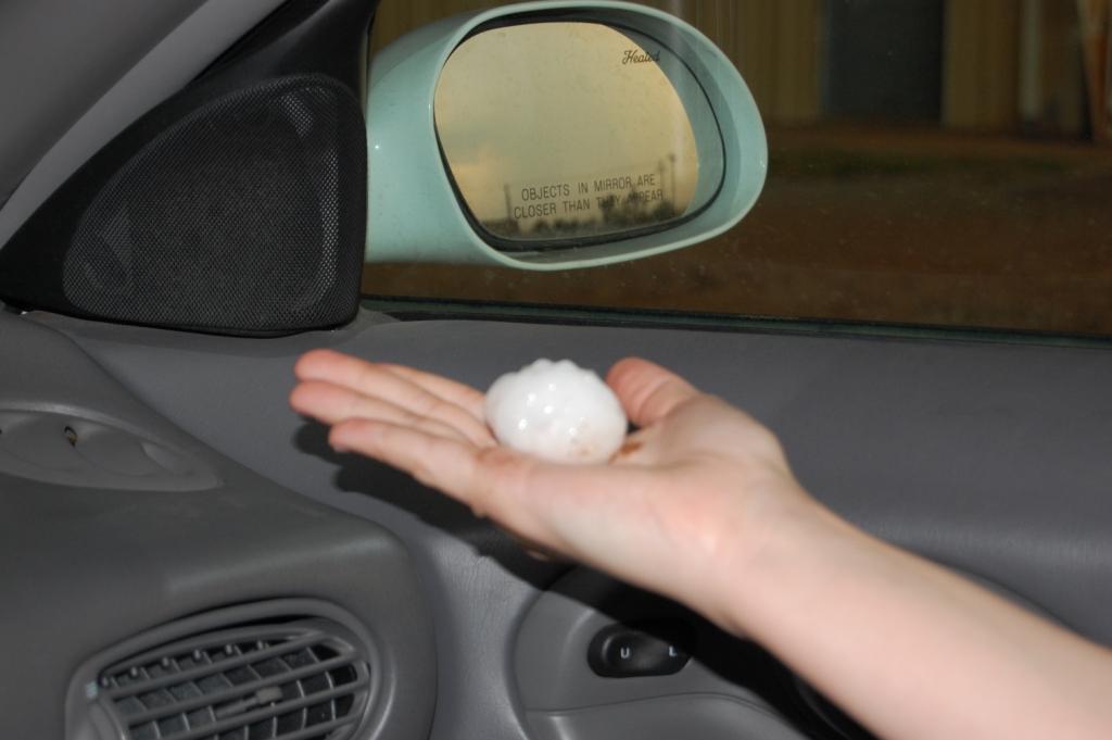
Approximately 2" along the major axis. Somewhat flattened, almost like an egg. I was outside when those were falling!
The obvious heavy rain core was still several miles north of us, but knowing this storm was capable of throwing 2" stones miles out ahead of
the core, we bailed south. Whereas we had been mostly alone up to this point, suddenly we joined a typical May chaser convergence in Oklahoma.
The first group to fly by us was the TWC Tornado Hunt crew, clearly going the speed limit (/sarcasm). Although, in their defense, inflow winds
rapidly accelerated and some hail was still falling, but it was small. Topsoil/dust could be seen flying off the farm fields to the south.
We stopped again just south of the Northwest Expressway when we noticed the structure had been revealed and was at least as impressive as
earlier in the chase. Oh what I would've done for a wide-angle lens at that point. Although, our proximity to the storm gave us a great
vantage point to what was about to happen.
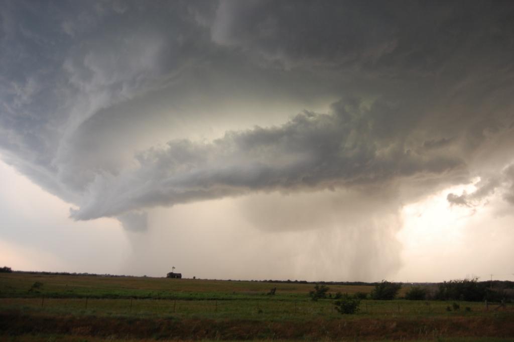
In addition to having that mothership shape, the colors were equally impressive. That green light oozing through the base was one of the coolest
things I have ever seen on a storm. You can also see a wall cloud in the rain.
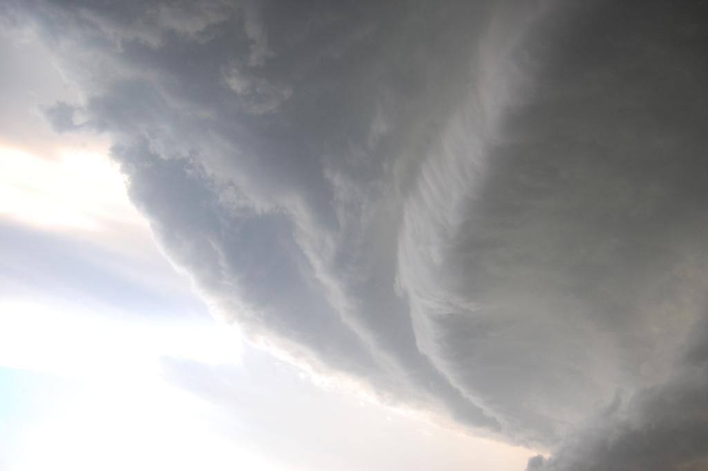
Oh man. Too close, but just so impressive. You can see more of that yellowish-greenish light on the right of the image just barely visible
within the storm. It's almost as if it's being emitted from within the storm.
Remember that distant storm I showed pictures of earlier? It was moving northeast and dropped huge hail on OKC just as it was passing southeast
of our storm. I noticed as we were watching it at this point that the air felt cooler. Indeed, the storm was ingesting the outflow boundary
from the deviant storm to the east. What happened to our storm as a result? The same thing that always seems to happen when an established
supercell ingests a source of horizontal vorticity...
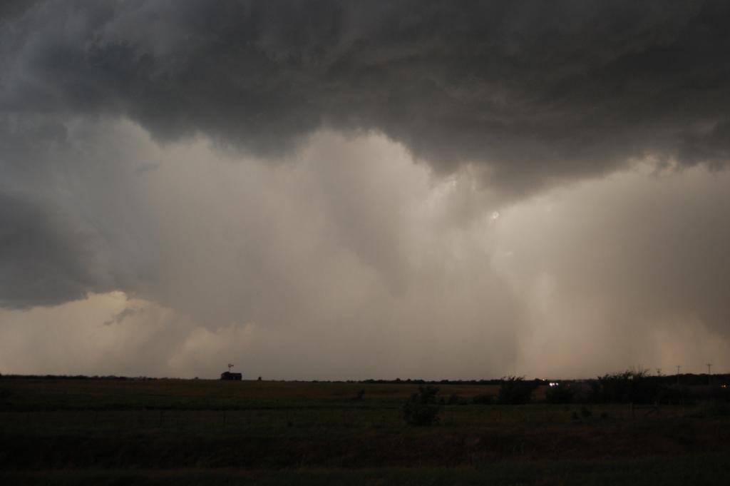
I barely even noticed it at first. The contrast wasn't great, and I wasn't expecting to see anything.
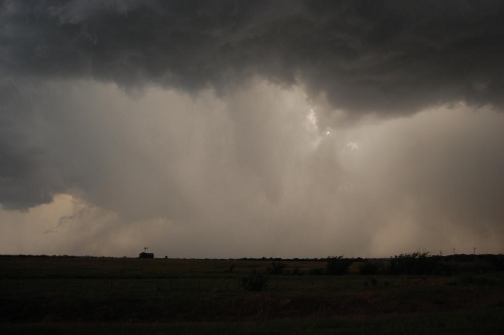
Then I turned to the group just up the road from us and asked, "is that what I think it is?" They nodded.
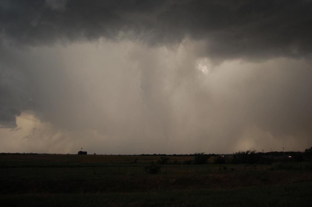
It was brief and weak, and few people got a decent shot of it, but it was indeed a tornado. The day was already made, so this was icing at
this point.
Megan has a friend that lives in Piedmont, so she was on the phone with her communicating where the threat was (it didn't hit her). That was
when I noticed quarter sized hail beginning to fall. I rushed Megan back into the car since she wasn't really paying attention to the hail and I
didn't want to have to deal with any head injuries.
We moved south, now part of a circus of chasers, all of various backgrounds (mobile radars from OU were there, as were the media and the hobbyist
chasers).
That was really the end of the chase for us. It was getting too dark and we had already seen more than we expected. Plus we were
closing in on Yukon and OKC metro, which would hamper continued movement south. We found our way to I-40 and headed back towards Norman, stopping
to eat at A&W off of I-240 on the way. I mention this because, even though the storm we had been chasing had finally merged with the crap over OKC
and was no longer a tornado threat, an additional storm had developed farther to the west by Hinton. I could see the mid-upper level structure
in the fading twilight, and it looked intense. It was heading southeast. Some claim it produced a tornado near Union City or Minco, and it
was heading straight for Norman. While we beat it home easily, it provided for a loud, wet, and windy late night. I watched several, likely
positive, CGs slam the ground close by as the storm approached. Then a 15 minute wind-driven hail event ensued. Thankfully the hail was barely
nickel sized at biggest, because it sounded like people were throwing rocks at our windows.
My wife said she enjoyed the chase. Maybe that will get her to come out with me more often. Also, it's interesting to note that the HRRR
verified pretty well, although it was about 2 hours late.
Lessons learned on this chase:
The structure probably would've been better if we had stayed more south rather than southeast of the storm. It wasn't moving that fast,
so there was no reason we couldn't have gone back south from Kingfisher and stayed well with it.
On structure days, stay farther back.
Either tone down the camera's sensitivity or get a filter to reduce the over-exposure from clear sky shots
Return to 2012 - chasing home page