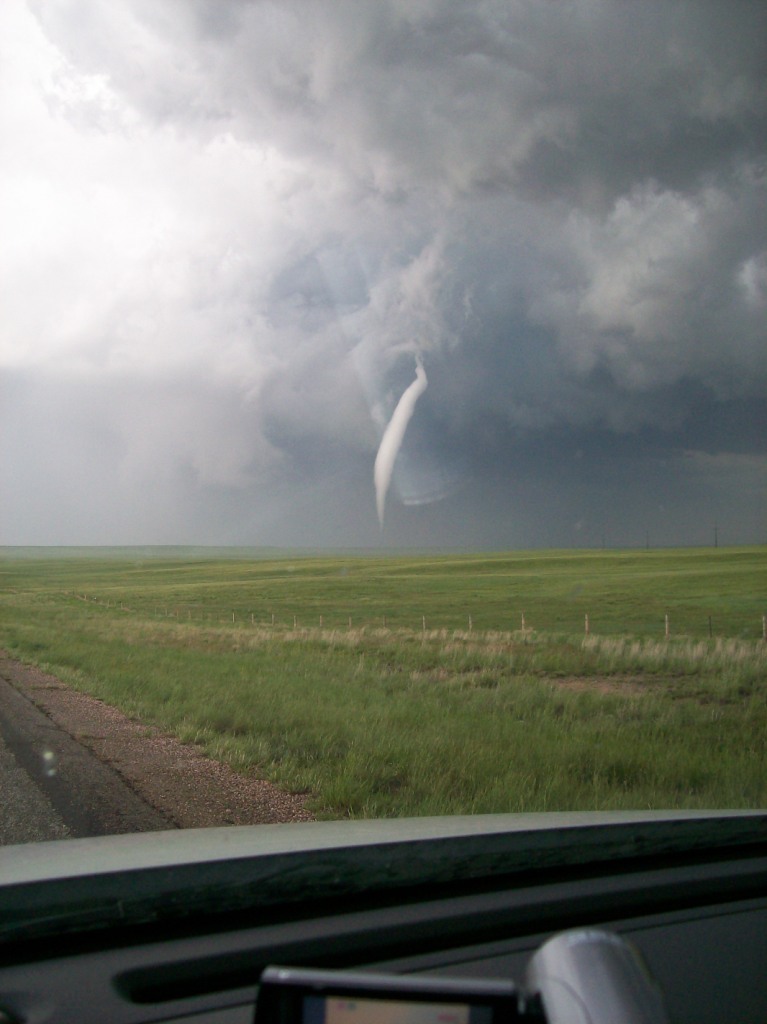
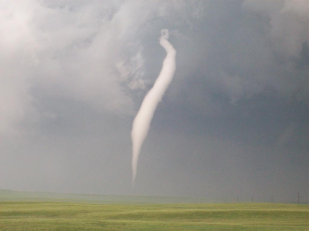
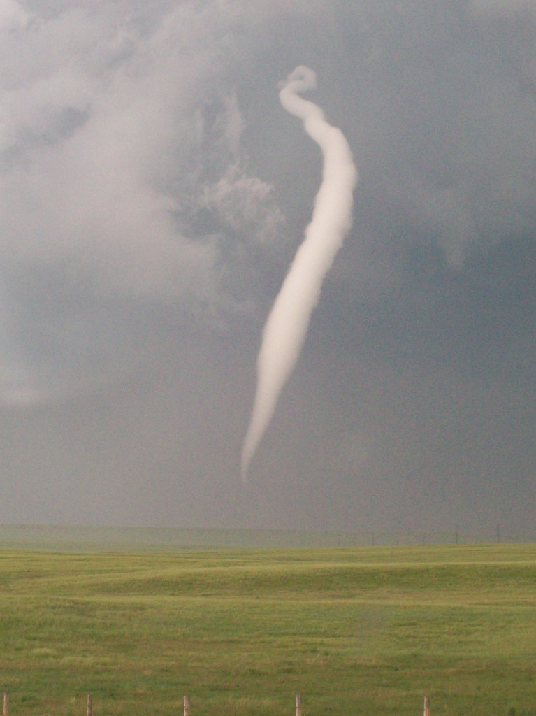
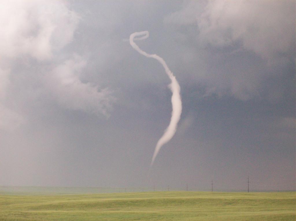
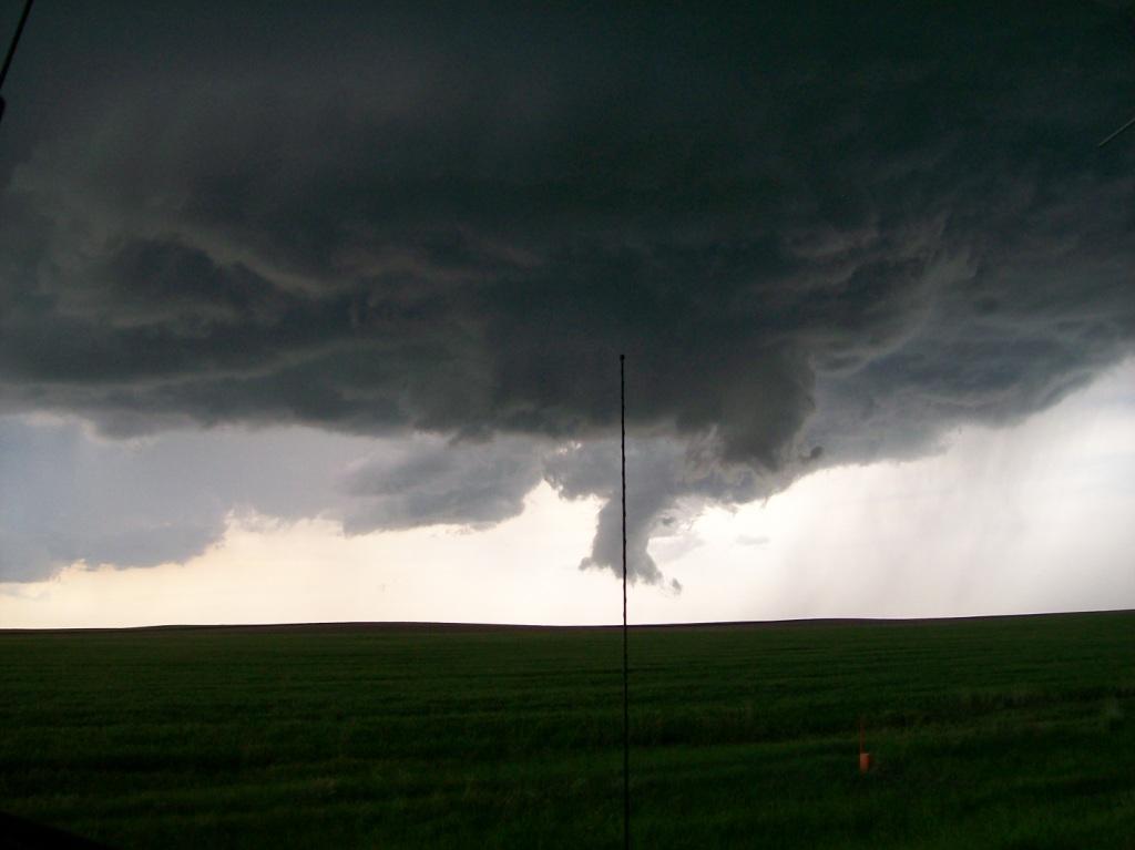
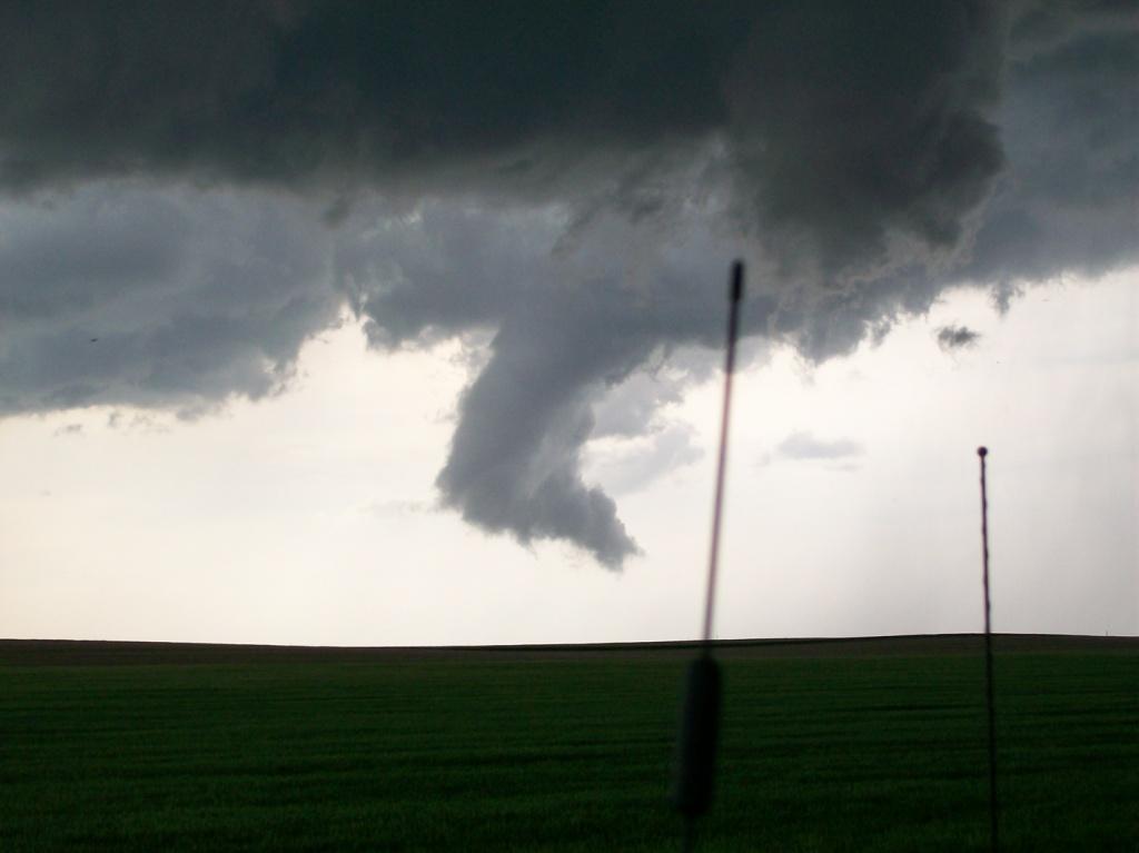
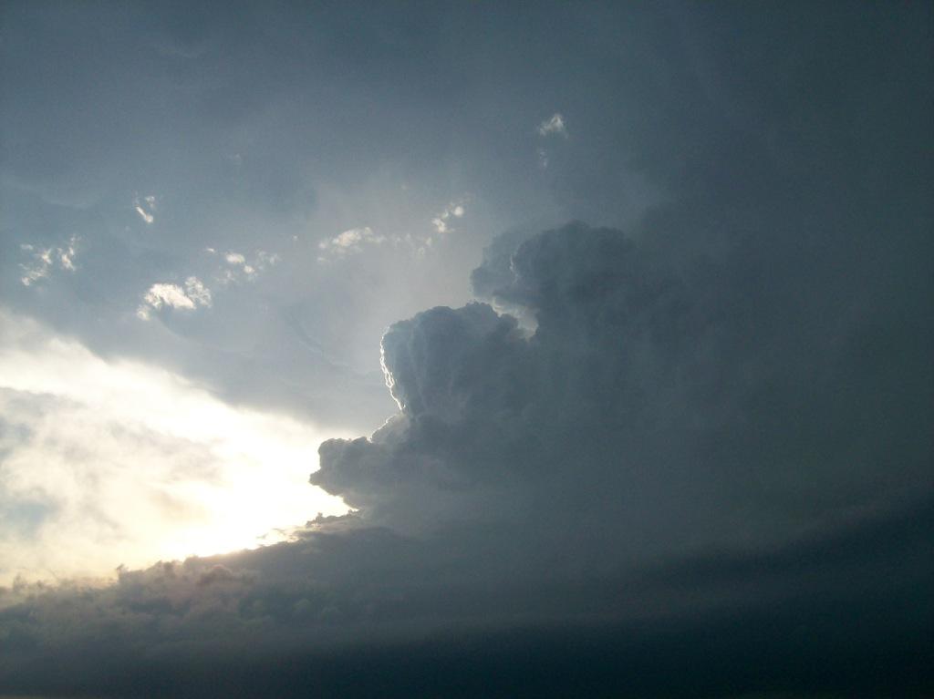
Success! My 2009 bust streak ended this day with the help of Tim Samaras and the TWISTEX crew. We got the
Goshen County, Wyoming tornado, as is apparent from the title image for this account.
Chase partner Chris and I had left Ames for Denver the day before. We met the TWISTEX crew there and left
for Cheyenne around noon. After eating a nice hefty lunch at the Taco Johns in Cheyenne, we decided to float
east, as some storms had fired to the north, but we were still liking targets to the south and east, so we didn't
want to commit too early.
15 minutes after leaving Cheyenne east on I-80, the nearest storm to us (how convenient) started to take
on supercell characteristics and went tornado warned to our northeast in southwest Goshen County. That put it
a good 35 miles to our north. We couldn't see it quite yet, as there was a decent cirrus deck, so we got off
of I-80 and began blasting north from near Burns, approaching similar speeds as when we targeted the Tipton, KS
supercell on May 29th last year (see account), speeds that I would be better off not
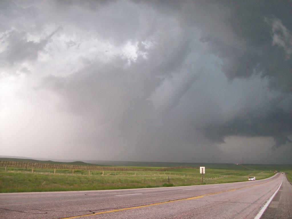
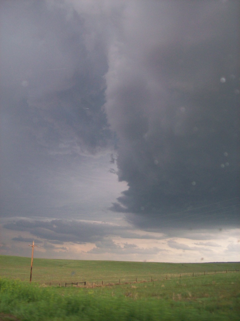
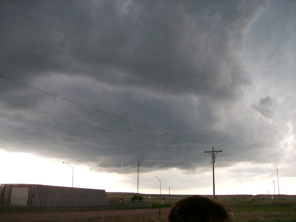
mentioning. As we traveled north, the storm began to come into view. From around 20 miles away we could begin
to see the base of the storm and the massive wall cloud on it.
We got on Highway 85 and closed in on it from the south. Thankfully the storm waited until just after we got
within 5 miles of the base to finally put down a tornado. It was a beauty! It was on the ground for at least 25
minutes straight. We lost it in the rain temporarily during it's mature stage (see why).
The rope out stage was
impressive, too, as the storm began roping out aloft before it did at the surface, and we could view the
vortex 3 miles in the air! As the rest of the team also carried out TWISTEX operations, we watched it rope
out and dissipate from a few miles south on 83. During it's final few minutes, it moved into an area such that
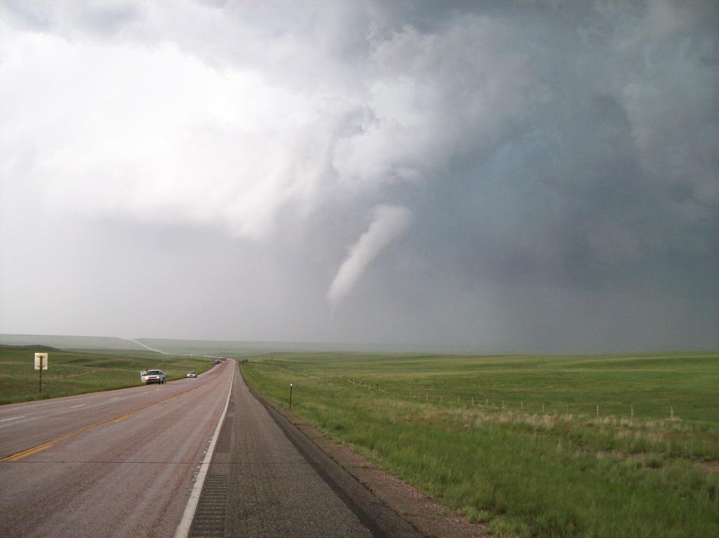
the angle between it, us, and the afternoon light caused the conrast to dramatically improve from a few minutes beforehand: the
twister now appeared as
a ghostly white tube against a deep blue and green background with a green, vegetated surface underneath.
It was during these moments that I got my best pictures of it and arguably the best pictures of the season and of
my short chasing career so far! That sequence of events is one of those that I will definitely never
forget and will be reliving with other chasers for years to come.

TORNADO! :) Probably 7 or so miles away.

I'd call this a nice fat cone. Not a wedge, stovepipe, or elephant trunk, but a fat cone. Seriously,
what other shape that chasers use to describe tornadoes would this be?

RFD clear slot wrapping around the tornado...Strange, if an RFD hitting the ground and wrapping all the way
around the mesocyclone is necessary for tornadogenesis, then, given that the tornado was on the ground for at least
five minutes by this point, why would the RFD appear to be just starting to wrap around it again? Am I just being
fooled visually, do I have my facts about RFDs and tornadogenesis straight, or is this a second (or multiple) RFD
coming around to reinforce whatever it does to cause the tornado? Does this possibly serve as an explanation for the
tornado's longevity?

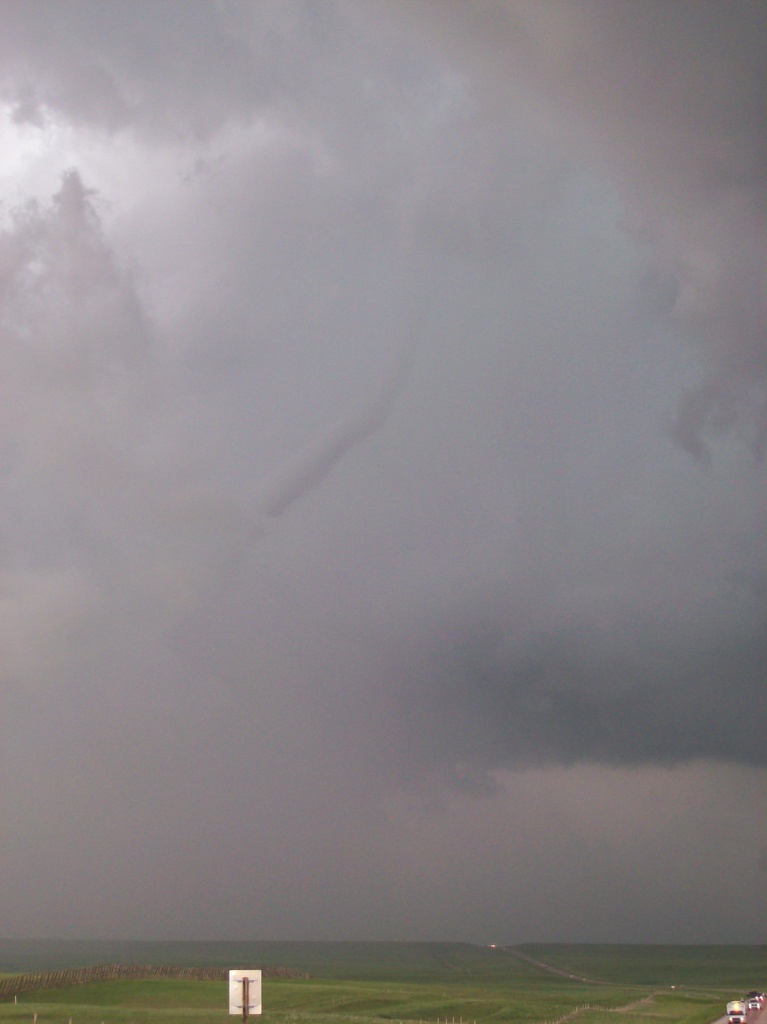
We moved a little closer at this point so that the tornado was about 2 or 3 miles away. Notice the roping
occurring aloft? Yet the tornado appears to still be in the mature stage near the ground. Amazing!

Despite losing visibility of the tornado near the surface here, we could see it pretty clearly aloft.

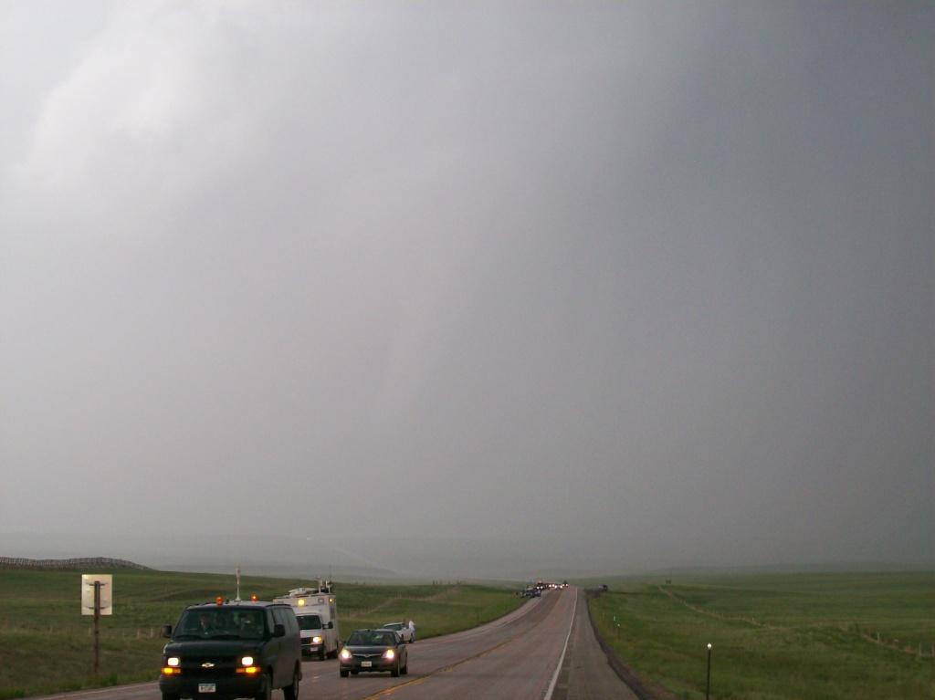
The flurry of VORTEX2 crews (as well as other chasers) getting out of there as the tornado crosses the road
about 2 miles from us. RFD fully wrapping precipitation around the core making it difficult to see.
I couldn't pick just one "best" of this sequence of images...I had to include them all. Unfortunately, the
far-field one that shows my video camera filming the rope out stage, and taken from inside the car, has a really sweet
reflection of my camera from the windshield perfectly positioned over the tornado.


The day wasn't over yet, though.
All of this action occurred around 4:30, so we had plenty of good light
left to chase the storm as it slowly crept nearly due east. We crossed the border into Nebraska, watching it
try to cycle and drop more tornadoes. It began to struggle to keep its intensity up during this time, however.

Updraft and mesocyclone of the storm as it was crossing the WY/NE border. Note the white streaks -
hailstones falling.

The storm attempting to reorganize. Again note the white streaks from falling hail. This was the
softest hail I've ever felt: it broke apart on impact much like a snowflake or a raindrop.
We eventually made it to Highway 77 and made it south, back ahead of the storm. We got far enough ahead to stop (along with
the parade of other chasers) and watch it approach us. For brief moments during this time, the storm seemed to
reorganize, and even appeared to drop a few funnels. No tornadoes, though.

Interesting sequence where the supercell appeared to reorganize enough to put out a small, weak funnel.
However, it was so weak, so small, and so far away that it was tough to even call it a funnel cloud...

...and again. Weak anticyclonic rotation was visible on the nearer wall cloud (darker mass in this and the
previous picture) coupled with even weaker, almost imperceptible, cyclonic rotation on the farther wall cloud
(the one producing this possible funnel).

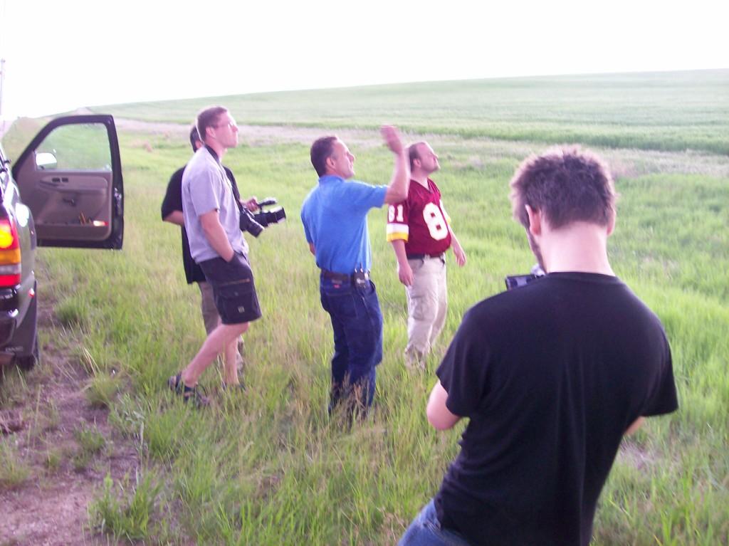
TWISTEX members (from left): Carl (behind), Chris (in front), Tim, Tony, and Paul observing the sky.
We continued to pursue the storm through the open areas of the Nebraska panhandle. Despite still being in a
good environment and moving into an even better one, it just never quite had the magic it had a few hours earlier.
It probably didn't help that a cluster of cells, many supercellular, had developed to its northeast across NW/NC NE.
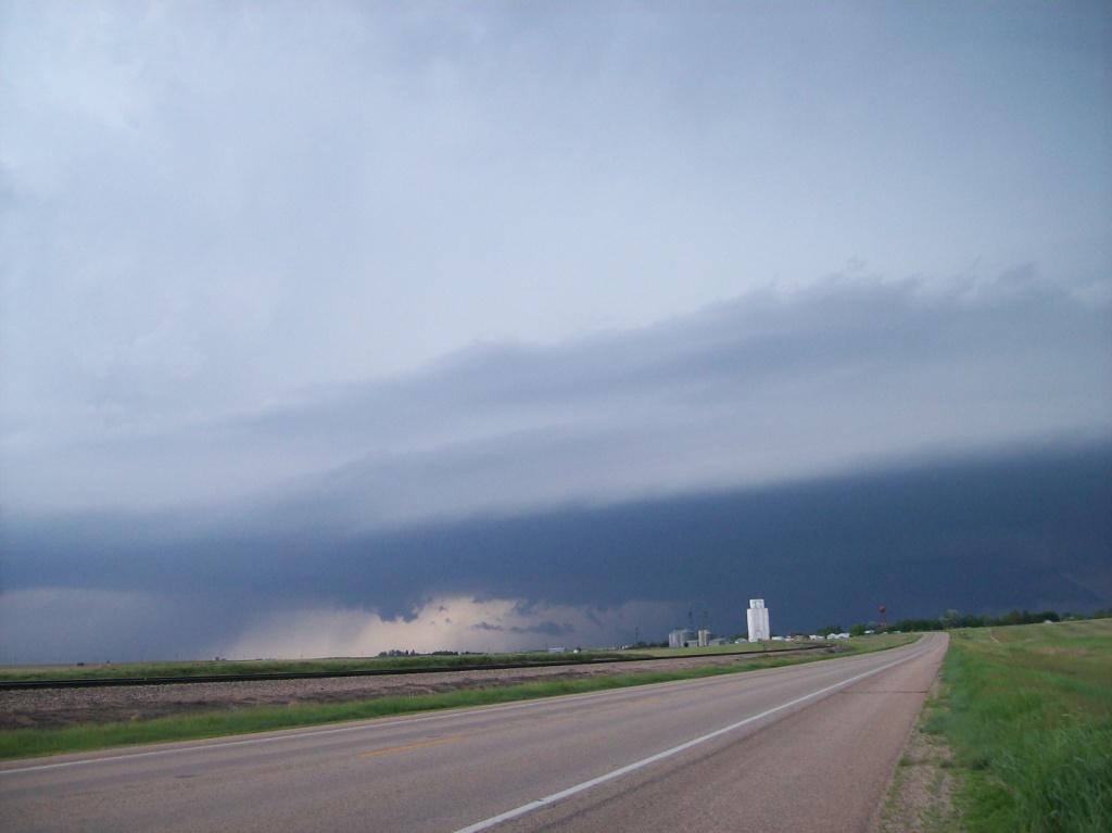
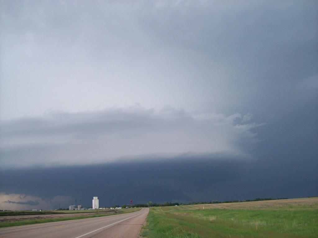
Before reaching Highway 385 south of Dalton, we were able to observe the original supercell and the one immediately
to its northeast on a collision course. Both had impressive striations on their respective bases and rock hard
updraft towers.

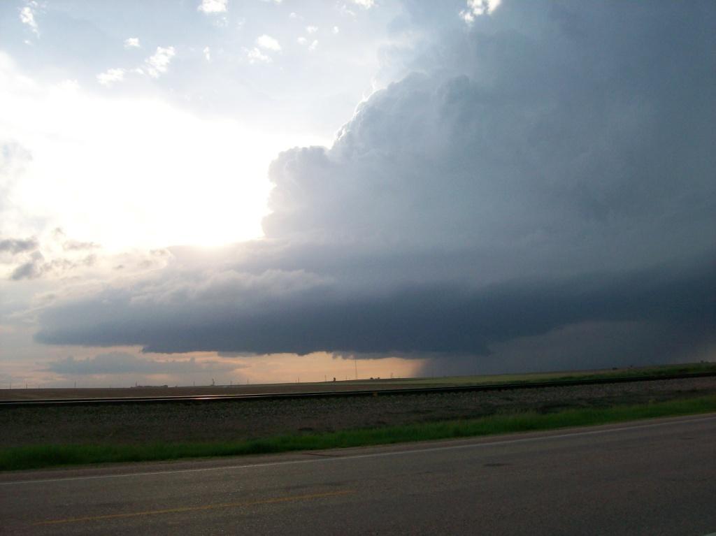
Southwestern one of a pair of supercells about to merge. This was the same one we'd been on for
a few hours. Same shallow wall cloud visible under the base. Laminar appearance with striations on the bottom
of the base indicating stable layer.

Left side of the northeastern one of the pair of supercells. Looking north up 385 towards Dalton.

Laminar appearance at the base of this one, too. Wall cloud can be seen under it.

I like this shot. Updraft against a setting sun with backsheared anvil above.
The storm to the northeast looked better visually and had lots of lowerings on it. Thus,
we headed north through Dalton to see what was going on in there. We were greeted just north of town by a
scuddy mess with lots of outflow and turbulent motion. Cool
turbulent motion, but nothing organized. The incipient cell merger seemed destructive to both storms. The
original one died and the other transitioned into an HP supercell. The outflow from it began flying miles away
from the base. We had to drive 5-10 miles away from it before we got out of the cold pool. Obviously that isn't
good for the inflow of a supercell, likely becoming elevated at this point. We fully gave up on it then.
Light was fading fast anyway.
Our day still wasn't over yet, though...
After a gas stop in Chappell, we headed east on I-80 towards our stop for the night, Kearney. We lost some
ground on the storms from the country drive on dirt roads and the stop in town. They didn't dissipate, however, and
continued heading ESE towards the interstate. So, battling 30 kt easterly winds (not sure why we were encountering
such strong winds) and supercells bearing down on us from the north, we pressed east.
As we contined east, it became apparent that the storms were going to be in our way all the way to Kearney.
Since we were already facing a 2.5 hour drive with an ETA of 1:00 AM in Kearney, stopping to let the storms pass over
was not an option, as their course would have them parallelling I-80 for a long time. Thus we decided to press
east and punch through them. They had lost their supercell characteristics by the time they reached the interstate,
but were still severe warned and had big hail associated with them.
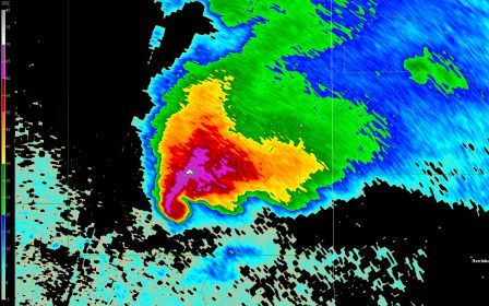
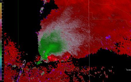
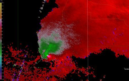
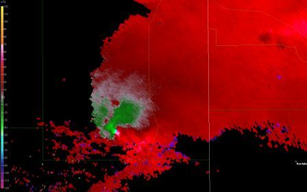
Reports of quite large hail were coming in and VILs were hitting the top of the scale on GR3.
We finally caught up with the storms around North Platte. Quite a bit of rain and wind, but not a lot of hail in
them initially, but it was enough to slow our progress east, enough that we weren't making much ground on them. East
of North Platte we began to get hailed on frequently, seeing up to quarter size occasionally, although marbles were
dominant. The size wasn't nearly as impressive as was the intensity of the hail and the noise it made as it beat down
on our cars! We had to stop once due to it hailing so hard we could barely see, and it was drifting on the road. It
also hailed so hard Chris and I couldn't hear radio chat or even each other, despite yelling across the car!
Eventually we made it through, though, although it took awhile to punch through the front side of the storms. We
ended up missing the Kearney exit somehow and had to turn back west on I-80, finally reaching our hotel around 1:30
AM. We had "supper" at Perkins and called it a night, knowing another chase day was upon us
tomorrow.
| Nerd central (Tim's dining room table in the morning before we left) |
 |


