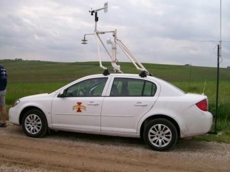
| M2 chilling out northwest of Audubon. |  |
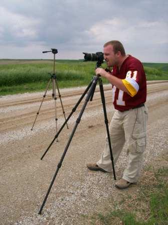
| Tony taking a picture of something with my tripod in the background. |  |
This day was almost a blue-sky cap bust. We did observe many agitiated cumulus clouds, but no daytime convection.
After a very successful day with TWISTEX yesterday (June 5th), hopes were high for another big day today. We targeted an area near a mesoscale low system with a nice stationary/warm front draped across central Nebraska and central Iowa. This was a very obvious boundary, with cold, cloudy conditions with east/northeast/north winds north of the boundary (including in areas where we chased yesterday), and south to southeast winds with 60s dewpoins and mostly clear skies southeast (see surface plots: 1000UTC, 1300UTC). Flow aloft was pretty decent for the time of year, plenty acceptable for supercells to form. (see 500 mb analyses)
We headed east on I-80 from our overnight stop of Kearney towards Iowa. We stopped to eat in Council Bluffs early in the afternoon and continued to evaluate how conditions where changing so that we could nail down a specific target area. The frontal boundary had begun creeping north as a warm front in Iowa (see 1700UTC surface analysis) and instability and shear were improving in western Iowa. Thus we decided to head towards west central Iowa.
By late afternoon, the front continued to lift north, but an area of focused convergence had developed around Audubon (see 2100UTC surface analysis and divergence). However, a new pattern of surface flow characterized by stronger SSW winds had begun to impinge on the front from the southwest, really hurting low-level shear. Thus we had to stick close to the boundary, which showed good directional convergence (NNE vs. SSW winds between Carroll and Audubon on 2100UTC surface analysis). One of the problems with this, though, was that surface winds in the area were weak. Also, warm 700mb temperatures were moving in. Despite SPCs RUC mesoanalyses telling us that we were in an area with good CAPE and almost no CIN, storms failed to develop along the convergence line/front. We could see the convergence line as a band of agitiated cumulus clouds, but no deep convection fired from within.
We ended up camping on a dirt road just northwest of Audubon for a good three hours. The cap, which was supposedly weakening, especially in response to an arriving shortwave, failed to break. We gave up and headed south on Highway 71 towards I-80 to retreat to Council Bluffs for the night when we witnessed a few turkey towers go up nearby. Briefly, we thought maybe the cap was finally weakening enough to permit convection to fire. We were wrong, however. We ended up staying in Council Bluffs, finally getting pounded by elevated storms starting around midnight and persisting all the way through the night.
| M2 chilling out northwest of Audubon. |  |
| Tony taking a picture of something with my tripod in the background. |  |
The next day would be more successful, but still frustrating (continue to Sunday, June 7th, 2009 account).
Back to 2009 - chasing home page