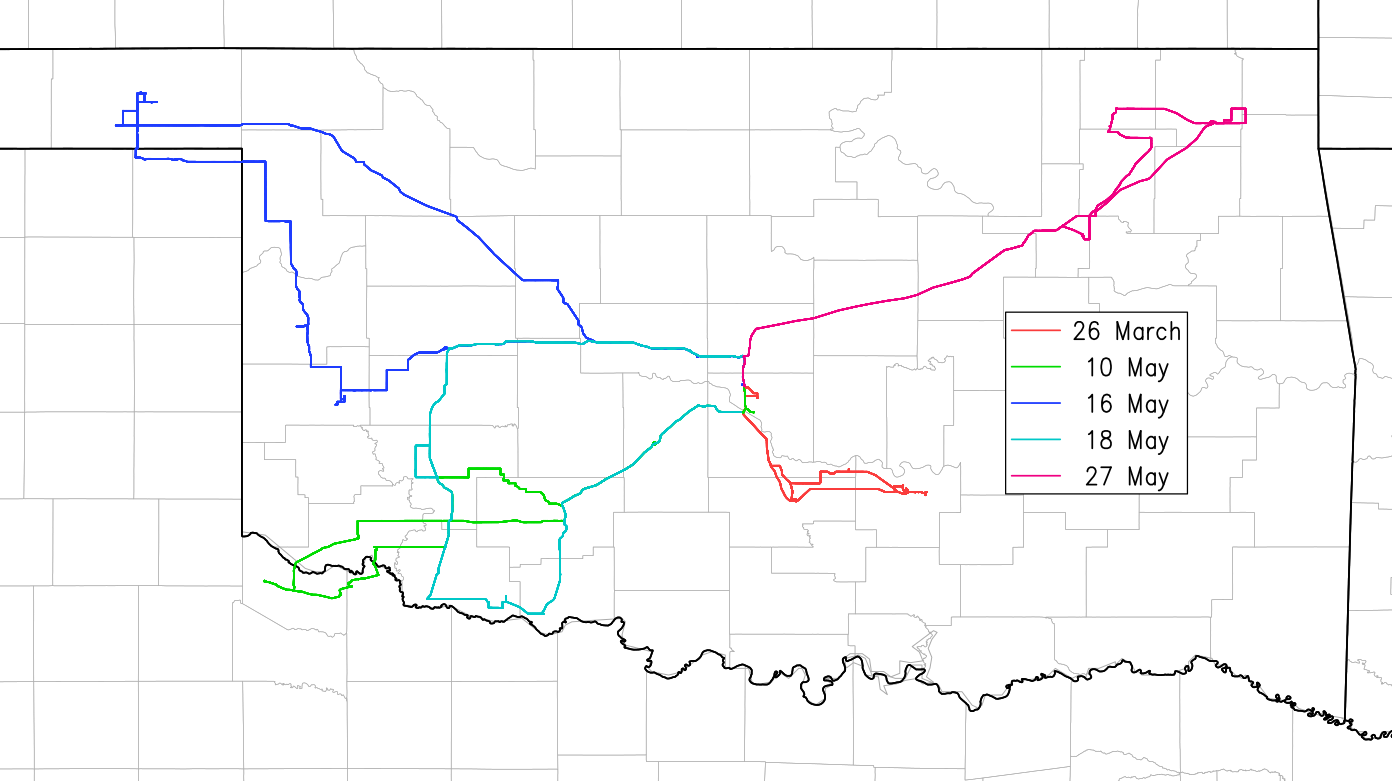

2017 will go down as a mostly forgettable year, except for a few events. Statistically, 2017 was fairly active, but the traditional spring season in Tornado Alley was much less active, thus resulting in few chase opportunities, and many days underperformed. In spite of this, I managed to lose a windshield to hail for the first time ever (in a personal vehicle) and it was part of a memorable chase. Also special about 2017: it was the first year in which I did not chase in April. April was a particularly crappy month with crashing cold fronts messing up most of the troughs that swung across the Plains.
2017 marked my tenth year of serious chasing. In those 10 years I experienced a wide variety of aspects of a storm chasing hobby. I saw many tornadoes and many more supercells of various shapes and sizes (although I have probably seen more HP supercells than any other type, and the vast majority of tornadoes I have seen occurred under low cloud bases and were partially or completely obscured by rain for a significant part of their lves). I've nearly been struck by lightning (March 18, 2012 comes to mind immediately) and photographed some lightning (although it has become uncommon on chases as of the last few years). I've seen very large hail bash up cars I drove and I have seen minor damage from windstorms and weak tornadoes after they passed through. Thankfully I have never been first on the scene behind a major severe weather event nor been in a town that has been heavily damaged after a tornado struck. Personally I hope to never experience that. I also got to chase on a major research expedition (TWISTEX) and met a number of severe weather researchers (including Howie Bluestein and Tim Samaras). I'm sure in the next 10 years I will experience even more aspects of the hobby, but hopefully mostly the good ones and few, if any, bad ones. It's probably only a matter of time before I witness firsthand a truly horrible human toll from a severe weather event, but then again, a judicious choice of chase strategy can strongly reduce the chance of that happening, too. If you want to get close, you need to take bigger risks, and my tendency over the last couple of years especially has been to take higher risks indeed. I will either need to temper that, or expect something worse to happen in the future.
I started this page in 2009 after a few other chasers encouraged me to document my chases and show off what I've seen and done. I learned a lot about basic HTML and web programming from creating this site. It remains very basic, but that's what I've wanted. I've noticed in the past couple of years, though, a decrease in motivation to write yearly accounts. Therefore, I have decided that 2017 will be the last year (for now) that I will write detailed accounts of my chases and put them on this site. I will continue to keep track of my basic stats, and I may someday return to write more accounts (hopefully using more updated coding languages and style). But for now, this is as far as I will go. If you have read my accounts over the years and have gotten any pleasure or useful information out of them, please let me know. You can send me an email at jeffduda319@gmail.com or look me up on social media. As of 2017 I am only active on Twitter (@wxJeffDuda).
Thanks for reading! See you under the meso.
-Jeff
March 26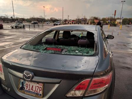 |
May 16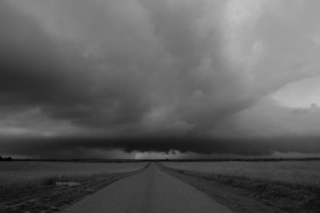 |
May 18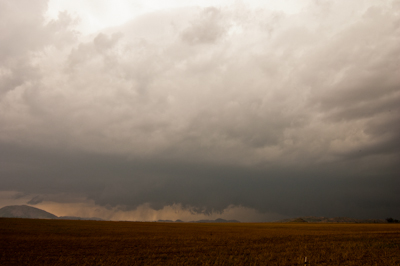 |
May 27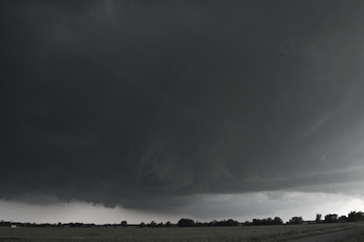 |
Mason and I headed towards northwest Texas on a day with a lifting and weakening trough approaching the southern Plains. While shear magnitudes were sufficient for supercells and tornadoes, the wind profile was messy, with a lot of veered flow at 700 mb and kinks below that. Therefore, predictably, storms were messy and struggled to maintain robust supercellular characteristics one would expect given the degree of shear. There were a handful of tornadoes, but they were weak, sporadic, and not photogenic. We missed them all.
We got on the first storm a little late (after it had already produced one tornado) just in time for it to start to go HP. We stayed with it until the U.S. 62/183 intersection near Snyder in Kiowa County, OK before giving up on it and the day. For the second half of that storm the inflow region was behind its own gust front. A second storm formed along the OFB/dryline intersection from the first storm back near where it formed. This second storm went on to produce most of the tornadoes, but we never even bothered with it.
I hesitate to even consider this a serious chase. It was the only truly uneventful chase of the year, though.
I had no plans to chase this day, but ever watchful of the weather, I noted the presence of "just-enough" levels of shear in C/SW OK this afternoon. Cellular storms went up in SW OK in the late afternoon and quickly exhibited supercellular structure. One storm was close enough that I was able to leave work and get to it just in time for it to become outflow dominant and lose its supercell characteristics. I was there in time to see something that resembled a wall cloud, as well as a developing arcus cloud. But, not wishing to waste more time, I left the storm quickly after that and headed home.
Return to storm chasing home page.